Te Atatū South, Auckland
Map
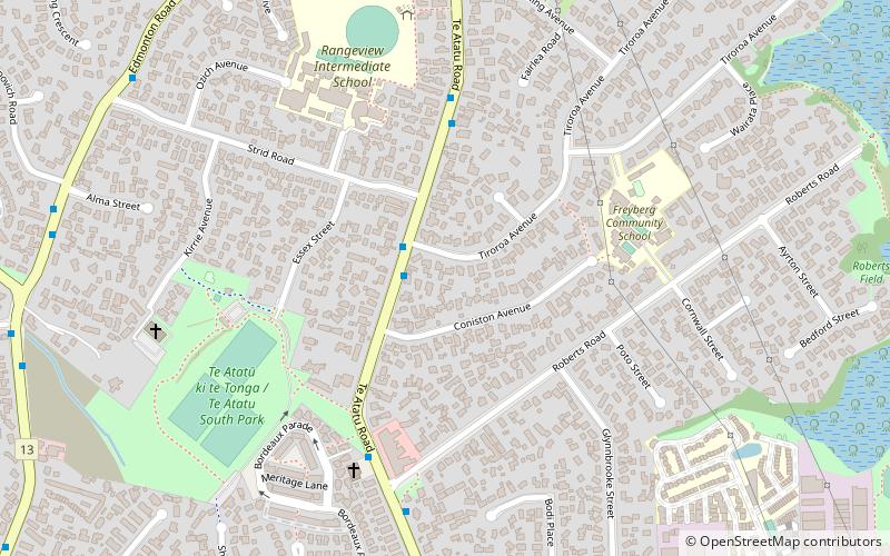
Map

Facts and practical information
Te Atatū South is a residential suburb in Auckland, New Zealand. Its location allows the suburb easy access to the city and Henderson town centre. Its elevation allows views back on to the city and Waitākere Ranges. Situated on the Te Atatū Peninsula, it has coasts backing on to water on its eastern and western sides with walkways and cycleways on both sides. ()
Coordinates: 36°52'16"S, 174°38'49"E
Address
West Auckland (Te Atatu South)Auckland
ContactAdd
Social media
Add
Day trips
Te Atatū South – popular in the area (distance from the attraction)
Nearby attractions include: WestCity Waitakere, Corban Estate Arts Centre, Laidlaw College, Waitakere Mega Centre.
Frequently Asked Questions (FAQ)
How to get to Te Atatū South by public transport?
The nearest stations to Te Atatū South:
Train
Train
- Henderson (29 min walk)


