Lambton Quay, Wellington
Facts and practical information
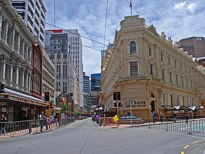
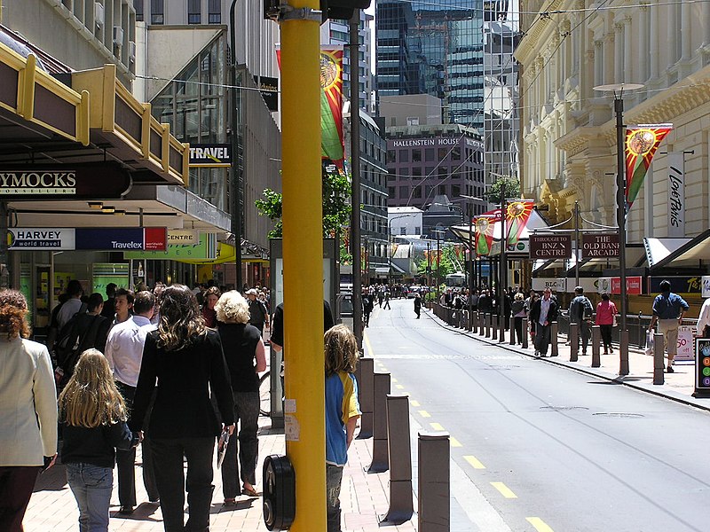
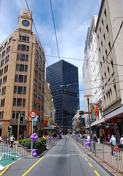
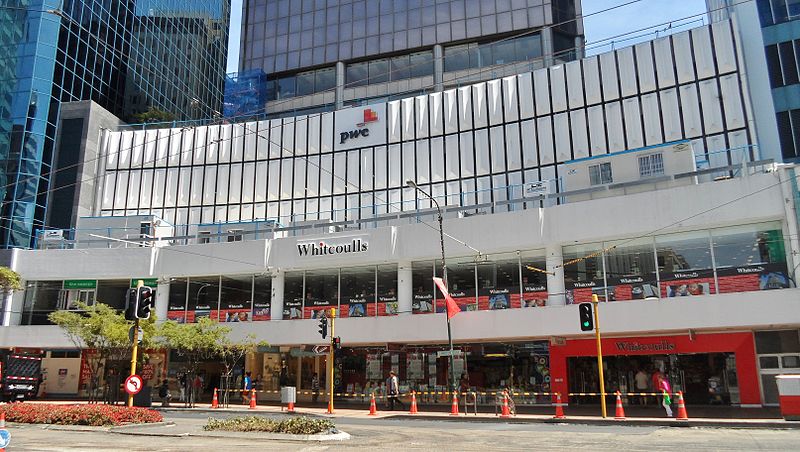
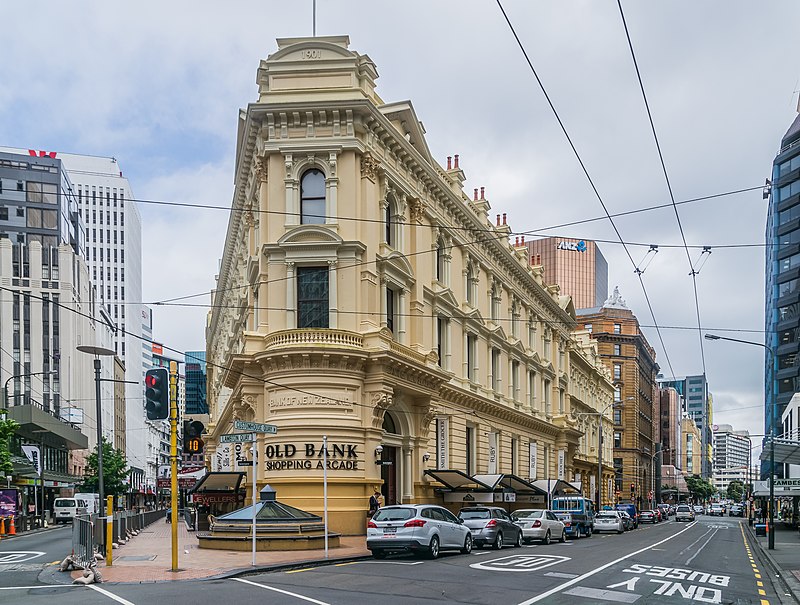
Lambton Quay, a bustling shopping district at the heart of Wellington, New Zealand, is a vibrant hub for both locals and tourists alike. Known for its diverse range of retail options, this area serves as the city's premier commercial street, offering a blend of high-end boutiques, international chains, and local artisan shops.
The district's history dates back to the early days of Wellington, when Lambton Quay was actually a waterfront street, before land reclamation in the late 19th and early 20th centuries shifted the shoreline outward. The area has since evolved into a dynamic retail corridor, reflecting the capital's growth and cosmopolitan flair.
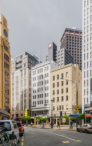
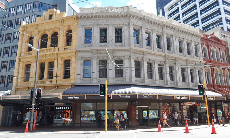
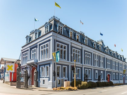
Shoppers can find everything from fashion and beauty products to electronics and souvenirs along Lambton Quay. The street is also dotted with numerous cafes and eateries, providing plenty of options for a quick bite or a leisurely meal amidst a day of shopping. Additionally, the area is known for its historic buildings and architecture, adding a sense of charm and character to the shopping experience.
Accessibility is a key feature of Lambton Quay, with excellent public transport links including the iconic Wellington Cable Car, which connects the shopping district to the Kelburn suburb and the city's botanical gardens. For pedestrians, the Quay is a welcoming environment with wide footpaths and a number of public spaces for rest and relaxation.
Lambton Quay is not just a daytime destination; it also offers a lively atmosphere after dark, with various bars and restaurants catering to those looking to extend their day out into the evening. Seasonal events and street performances often take place here, contributing to the district's reputation as a cultural and social hotspot in New Zealand's capital.
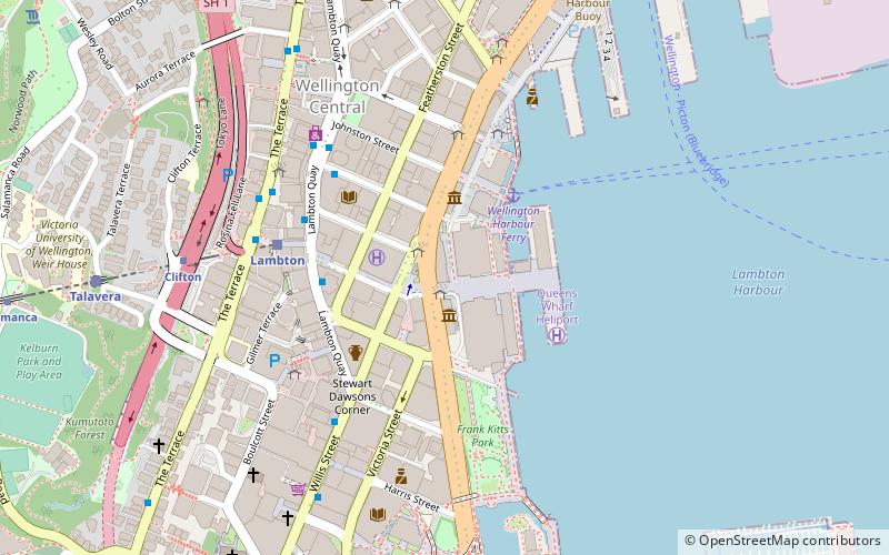
Lambton QuayLambton Ward (Wellington Central)Wellington 6011
Lambton Quay – popular in the area (distance from the attraction)
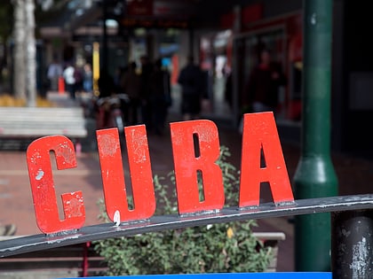
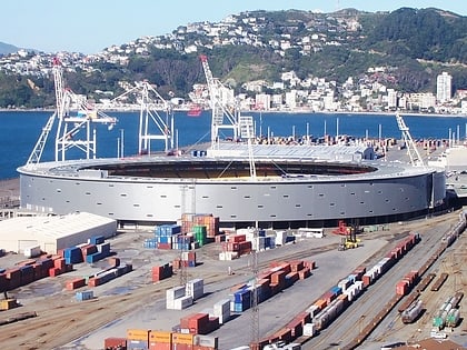
Nearby attractions include: Cuba Street, Willis Street, Thistle Inn, Westpac Stadium.
Frequently Asked Questions (FAQ)
Which popular attractions are close to Lambton Quay?
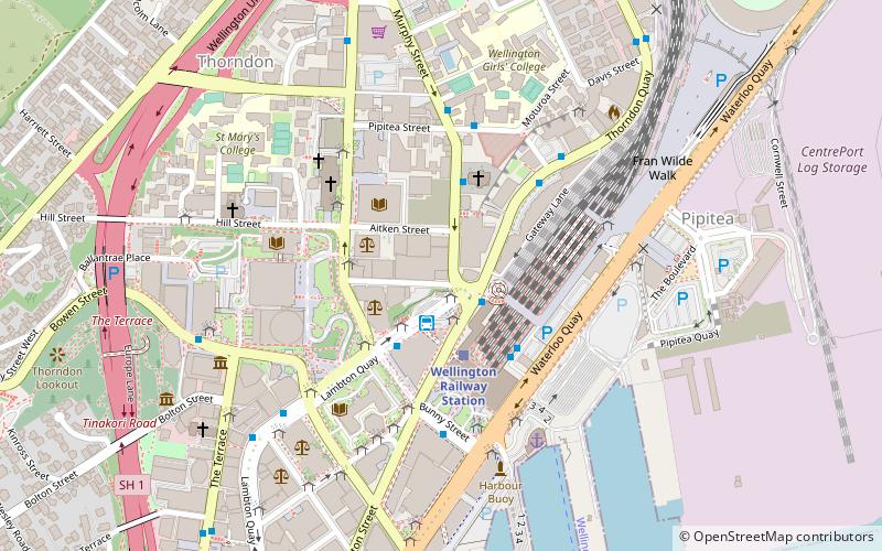
How to get to Lambton Quay by public transport?
Train
- Lambton (6 min walk)
- Wellington Railway Station (8 min walk)
Ferry
- Wellington Harbour Ferry (6 min walk)
Bus
- Wellington Station Bus Interchange (7 min walk)
- Molesworth Street – Cathedral • Lines: 14, 91 (10 min walk)
