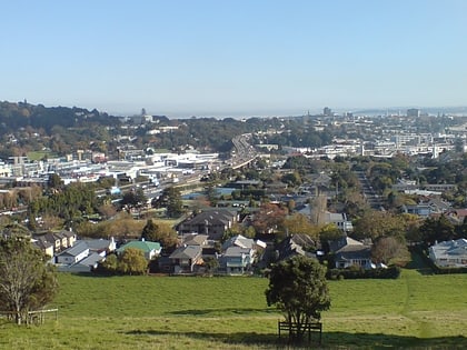
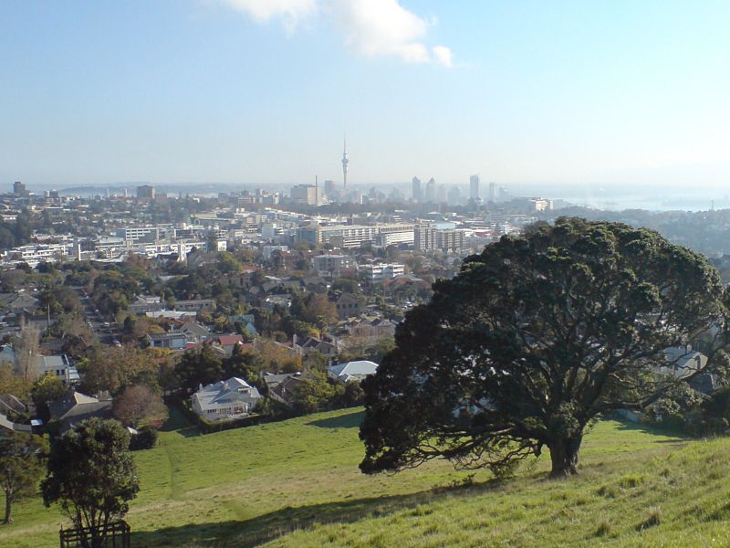
Ōhinerau / Mount Hobson, Auckland
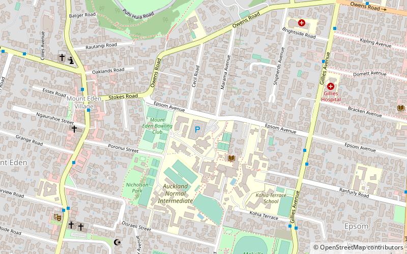
Map

Gallery
Facts and practical information
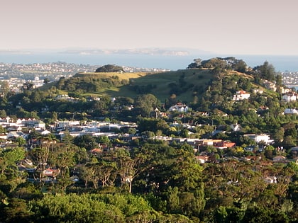
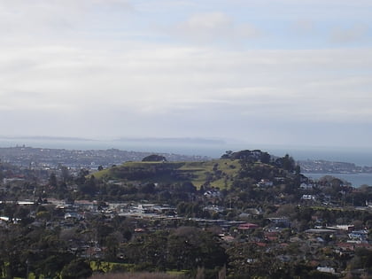
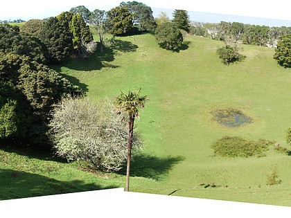
Ōhinerau / Mount Hobson is a 143 m high volcanic cone in the Auckland volcanic field in Auckland, New Zealand. ()
Elevation: 469 ftCoordinates: 36°52'42"S, 174°47'13"E
Address
Central Auckland (Remuera)Auckland
ContactAdd
Social media
Add
Day trips
Ōhinerau / Mount Hobson – popular in the area (distance from the attraction)
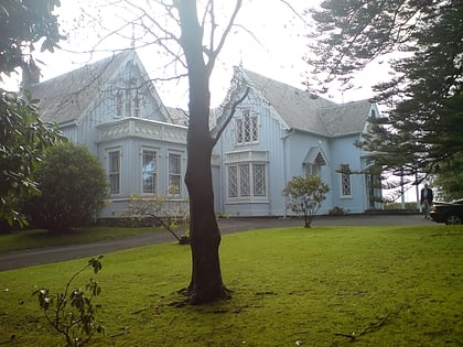
Nearby attractions include: Westfield Newmarket, Highwic, Eden Garden, Remuera.
Frequently Asked Questions (FAQ)
Which popular attractions are close to Ōhinerau / Mount Hobson?
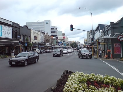
Nearby attractions include Great South Road, Auckland (5 min walk), Mount Saint John, Auckland (13 min walk), Newmarket Viaduct, Auckland (17 min walk), Epsom, Auckland (19 min walk).
How to get to Ōhinerau / Mount Hobson by public transport?
The nearest stations to Ōhinerau / Mount Hobson:
Train
Bus
Train
- Remuera (6 min walk)
- Newmarket (20 min walk)
Bus
- Alpers Avenue • Lines: 30, Out (16 min walk)
- Mahuru Street • Lines: Out (17 min walk)
