Whakarewarewa - The Living Maori Village, Rotorua
Facts and practical information
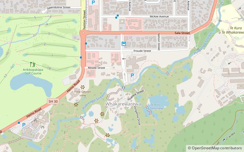
Whakarewarewa - The Living Maori Village is a place located in Rotorua (Bay of Plenty region) and belongs to the category of sightseeing.
It is situated at an altitude of 991 feet, and its geographical coordinates are 38°9'40"S latitude and 176°15'23"E longitude.
Planning a visit to this place, one can easily and conveniently get there by public transportation. Whakarewarewa - The Living Maori Village is a short distance from the following public transport stations: Hell Gate shuttle bus-01 (bus, 4 min walk).
Among other places and attractions worth visiting in the area are: Rotorua Golf Club "Arikikapakapa" (golf, 5 min walk), Pohutu Geyser (volcano, 10 min walk), Te Puia (hot springs, 10 min walk).
Rotorua
- Bus
 Bus
Bus
- Calculate routeHell Gate shuttle bus-01 4 min walk
- Calculate routeMalfroy Road - Fronting No. 133 38 min walk
Whakarewarewa - The Living Maori Village – popular in the area (distance from the attraction)
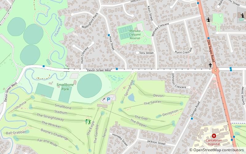
Nearby attractions include: Redwoods Forest, Te Puia, Rotorua Golf Club "Arikikapakapa", Smallbone Park.


Frequently Asked Questions (FAQ)
Which popular attractions are close to Whakarewarewa - The Living Maori Village?
How to get to Whakarewarewa - The Living Maori Village by public transport?
Bus
- Hell Gate shuttle bus-01 (4 min walk)
- Malfroy Road - Fronting No. 133 • Lines: 8 (38 min walk)