Kuirau Park, Rotorua
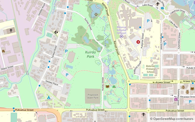
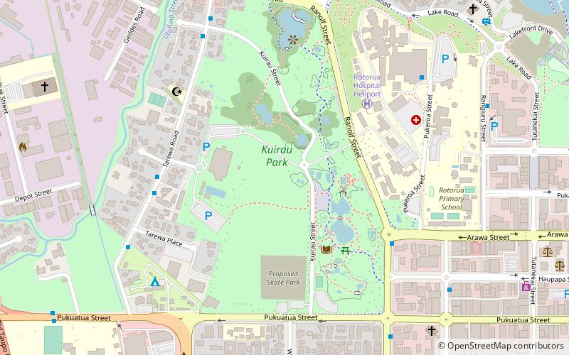
Map
Facts and practical information
Kuirau Park is a place located in Rotorua (Bay of Plenty region) and belongs to the category of sightseeing.
It is situated at an altitude of 948 feet, and its geographical coordinates are 38°8'0"S latitude and 176°14'40"E longitude.
Planning a visit to this place, one can easily and conveniently get there by public transportation. Kuirau Park is a short distance from the following public transport stations: Ranolf Street - Opposite No. 79 (bus, 17 min walk), Rotorua (train, 18 min walk).
Among other places and attractions worth visiting in the area are: Rotary Market at Kuirau Park - Saturday mornings (park, 1 min walk), Rotorua Aquatic Centre (sport complex, 4 min walk), Saint Lukes Church (church, 9 min walk).
Coordinates: 38°8'0"S, 176°14'40"E
Address
Rotorua
ContactAdd
Social media
Add
Getting there by public transportation
Public transportation stops near this location
- Bus
- Train
 Bus
Bus
- Calculate routeRanolf Street - Opposite No. 79 17 min walk
- Calculate routeMalfroy Road - Fronting No. 133 21 min walk
- Calculate routeRotorua 18 min walk
Day trips


Frequently Asked Questions (FAQ)
Which popular attractions are close to Kuirau Park?
Nearby attractions include Rotary Market at Kuirau Park - Saturday mornings, Rotorua (1 min walk), Rotorua Aquatic Centre, Rotorua (4 min walk), Saint Lukes Church, Rotorua (9 min walk), Eat streat, Rotorua (11 min walk).
How to get to Kuirau Park by public transport?
The nearest stations to Kuirau Park:
Bus
Train
Bus
- Ranolf Street - Opposite No. 79 • Lines: 11, 8 (17 min walk)
- Malfroy Road - Fronting No. 133 • Lines: 8 (21 min walk)
Train
- Rotorua (18 min walk)