Moeraki
Map
Gallery
Facts and practical information
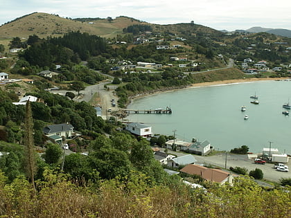
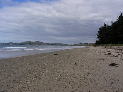
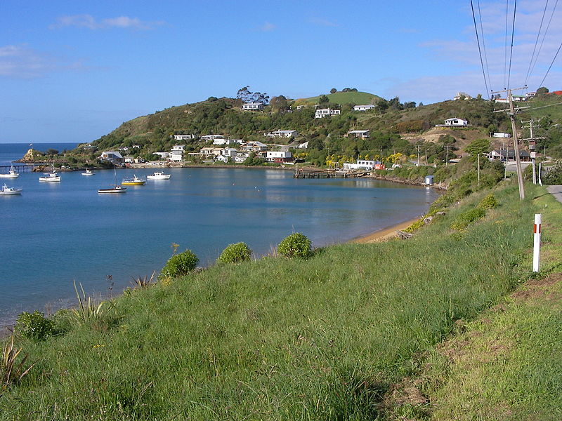
Moeraki is a small fishing village on the east coast of the South Island of New Zealand. It was once the location of a whaling station. In the 1870s, local interests believed it could become the main port for the north Otago area and a railway line, the Moeraki Branch, was built to the settlement and opened in 1877. However, the port could not compete with Oamaru and the lack of traffic as well as stability problems caused by difficult terrain led to the closure of the railway in 1879 after only two years of operation. ()
Coordinates: 45°21'35"S, 170°51'14"E
Location
Canterbury
ContactAdd
Social media
Add
Day trips
Moeraki – popular in the area (distance from the attraction)
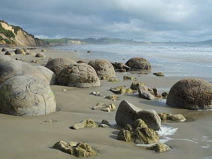
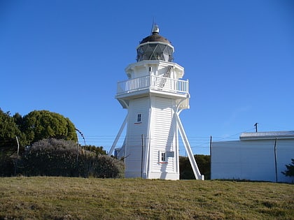
Nearby attractions include: Moeraki Boulders, Katiki Point Lighthouse, Trotters Gorge, Hampden.
