Papatowai
Map
Facts and practical information
Papatowai is a small settlement in the Catlins ward of the Clutha District of the southeastern South Island of New Zealand. The settlement is situated half-way between the cities of Dunedin and Invercargill, on the Pacific coast close to the mouth of the Tahakopa River. There is a permanent population of around 40 people but with most of the houses in the town being holiday homes the population rises dramatically during the holiday seasons, particularly around New Year's Day and Easter. ()
Population: 6.6 thous.Coordinates: 46°34'10"S, 169°27'34"E
Location
Otago
ContactAdd
Social media
Add
Day trips
Papatowai – popular in the area (distance from the attraction)
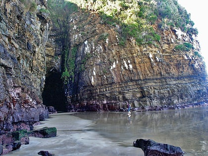
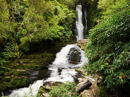
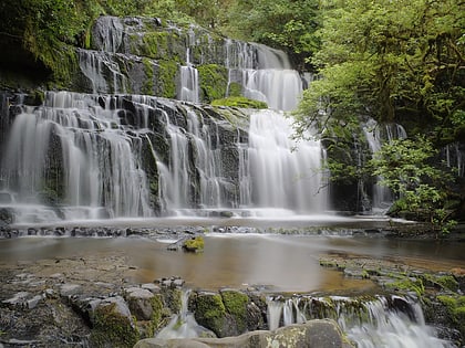
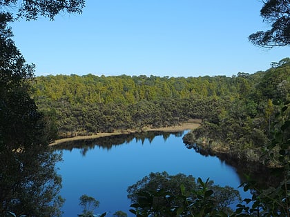
Nearby attractions include: Cathedral Caves, McLean Falls, Purakaunui Falls, Lake Wilkie.
