Breaksea Island
Map

Map

Facts and practical information
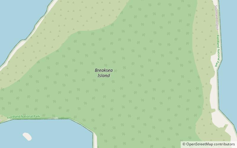
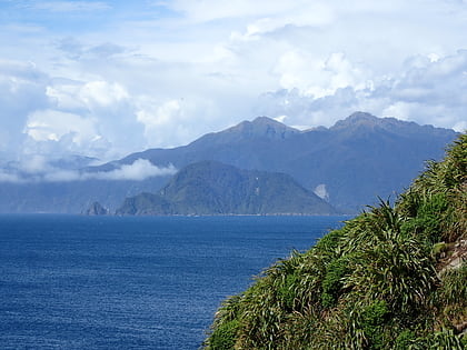
Breaksea Island is a rugged 1.6 km2 island in the southwest of New Zealand, and is part of Fiordland National Park. Its highest point is 350 m asl and it lies about 2 km from the mainland in the entrance to Te Puaitaha / Breaksea Sound, north of the much larger Resolution Island. It is covered in temperate rainforest and was the site of one of the first successful campaigns to eradicate rats from a sizeable island. ()
Area: 0.6 mi²Coordinates: 45°34'42"S, 166°38'14"E
Location
Southland
ContactAdd
Social media
Add
