Cemetery Crater, Papatoetoe

Map
Facts and practical information
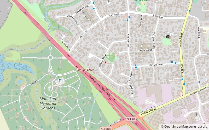
Cemetery Crater is one of the volcanoes in the Auckland volcanic field. It is an explosion crater roughly 200 metres wide, located east of Crater Hill. Hard to see even in early aerial photos due to its shallowness, it is now covered by housing. It was first recognised by Ernie Searle in the 1960s. He named it because of its proximity to the cemetery in Puhinui Rd, but the Southwestern Motorway has now been constructed between the crater and the cemetery. ()
Coordinates: 36°59'23"S, 174°50'28"E
Address
South Auckland (Papatoetoe)Papatoetoe
ContactAdd
Social media
Add
Day trips
Cemetery Crater – popular in the area (distance from the attraction)
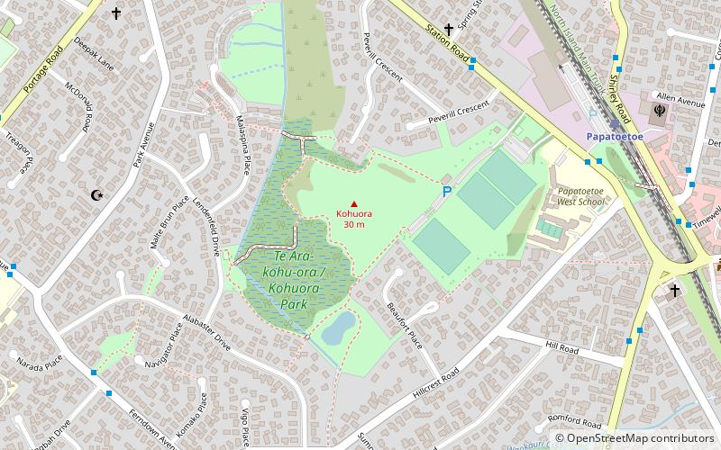
Nearby attractions include: Kohuora, Matukutūruru, Wiri Lava Cave, Crater Hill.


