North Harbour, Auckland
Map
Facts and practical information
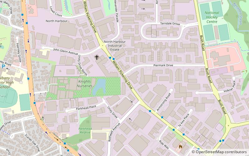
North Harbour is a suburb on the North Shore of Auckland, New Zealand. It is located 12 kilometres north of the city centre, to the south of the suburb of Albany. The suburb has not been officially designated as a suburb by Auckland Council, the territorial authority. The place name holds no official status with the New Zealand Geographic Board, nor is it used by New Zealand Post. North Harbour is, however, a statistical area used in Statistics New Zealand datasets and North Harbour East and North Harbour West are area units. The general area that embodies what is referred to as the suburb of North Harbour is made up of parts of Albany, Rosedale, Schanpper Rock and Pinehill. ()
Coordinates: 36°44'55"S, 174°41'60"E
Address
North Shore (Rosedale)Auckland
ContactAdd
Social media
Add
Getting there by public transportation
Public transportation stops near this location
- Bus
 Bus
Bus
- Calculate routeMassey Shuttle bus 27 min walk
- Calculate routeAlbany Highway / Sunset Road 39 min walk
- Calculate routeSunset Road / Glenfield Road 40 min walk
- Calculate routeGlenfield Road / Sunset Road 41 min walk
Day trips


Frequently Asked Questions (FAQ)
How to get to North Harbour by public transport?
The nearest stations to North Harbour:
Bus
Bus
- Massey Shuttle bus (27 min walk)
- Albany Highway / Sunset Road • Lines: 120, 901, 917 (39 min walk)