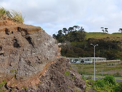
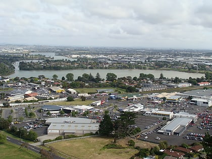
Panmure, Auckland
Map
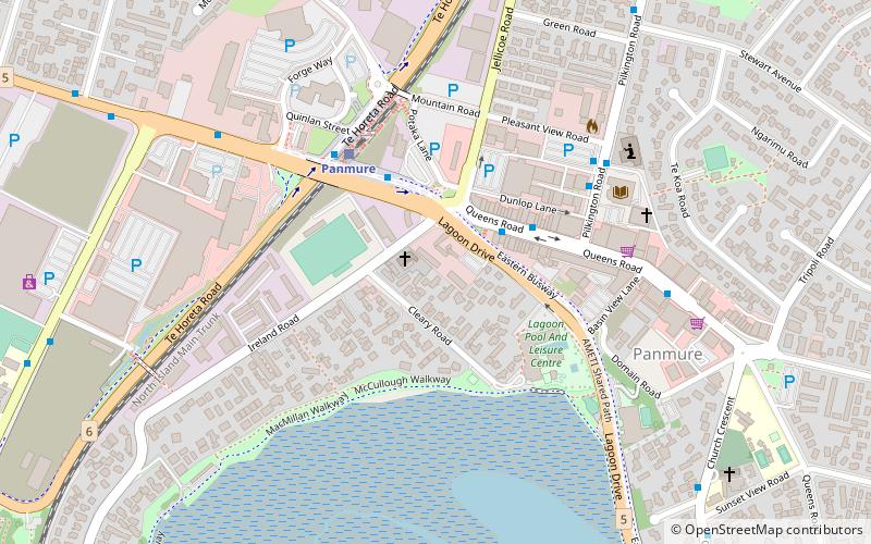
Map

Facts and practical information
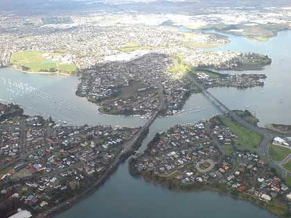
Panmure is an east Auckland suburb, in the North Island of New Zealand. It is located 11 kilometres southeast of the Auckland CBD, close to the western banks of the Tamaki River and the northern shore of the Panmure Basin. To the north lies the suburb of Tamaki, and to the west is the cone of Maungarei / Mount Wellington. ()
Coordinates: 36°53'60"S, 174°51'4"E
Address
Central Auckland (Panmure)Auckland
ContactAdd
Social media
Add
Day trips
Panmure – popular in the area (distance from the attraction)
Nearby attractions include: Sylvia Park Shopping Centre, Pakuranga Plaza, New Zealand Arthropod Collection, YMCA at Glen Innes Pool.
Frequently Asked Questions (FAQ)
Which popular attractions are close to Panmure?
Nearby attractions include Panmure Basin, Auckland (10 min walk), Purchas Hill, Auckland (24 min walk).
How to get to Panmure by public transport?
The nearest stations to Panmure:
Bus
Train
Bus
- Panmure Interchange (4 min walk)
- Panmure Station Platform 3 • Lines: 352, 70, 711, 712, 743, 744 (4 min walk)
Train
- Panmure (5 min walk)
- Sylvia Park (29 min walk)
