St Matthew's, Auckland
Map
Gallery
Facts and practical information
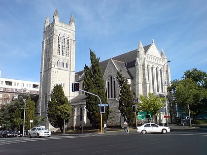
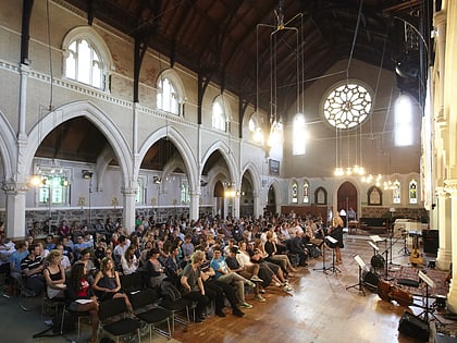
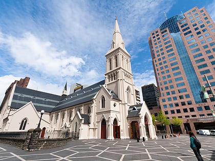
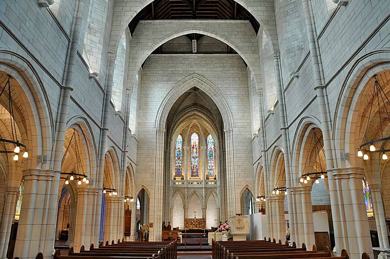
St Matthew's, or St Matthew-in-the-City, is a historic Anglican church located in the Central Business District of Auckland, renowned for its neo-Gothic style since its completion in 1905. ()
Coordinates: 36°51'1"S, 174°45'40"E
Address
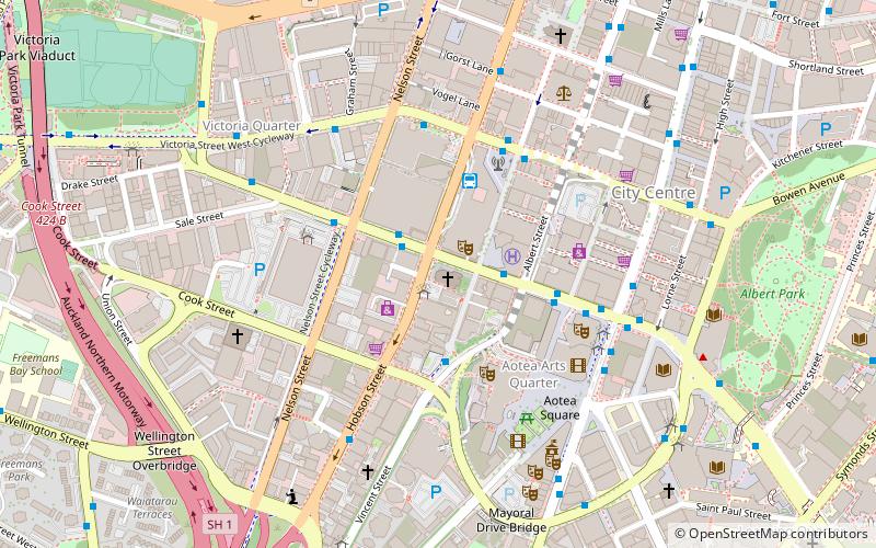
187 Federal StreetCentral Auckland (Auckland Central Business District)Auckland 1010
Contact
+64 9-379 0625
Social media
Add
Day trips
St Matthew's – popular in the area (distance from the attraction)
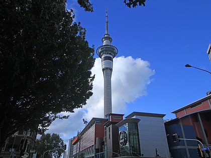
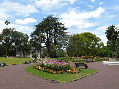
Nearby attractions include: Sky Tower, Albert Park, Victoria Park Market, St Paul's Church.
Frequently Asked Questions (FAQ)
Which popular attractions are close to St Matthew's?
Nearby attractions include Skycity Auckland, Auckland (4 min walk), Aotea Centre, Auckland (4 min walk), Sky Tower, Auckland (4 min walk), Auckland Live, Auckland (4 min walk).
How to get to St Matthew's by public transport?
The nearest stations to St Matthew's:
Bus
Tram
Train
Ferry
Bus
- Wellesley Street West / Saint Matthew-in-the-City • Lines: Out (1 min walk)
- SkyCity Bus Terminal (3 min walk)
Tram
- Gaunt Street • Lines: Wynyard Loop (12 min walk)
- Daldy Street • Lines: Wynyard Loop (15 min walk)
Train
- Britomart (16 min walk)
- Parnell (25 min walk)
Ferry
- Downtown Pier 14 (16 min walk)
- Downtown Pier 1 (16 min walk)
