Wellington College of Education, Wellington
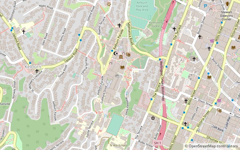
Map
Facts and practical information
Wellington College of Education was established in 1888 with the purpose of educating teachers in New Zealand. It became the Faculty of Education of Victoria University of Wellington, formed from the School of Education of the University, and the Wellington College of Education on 1 January 2005. ()
Coordinates: 41°17'23"S, 174°46'7"E
Address
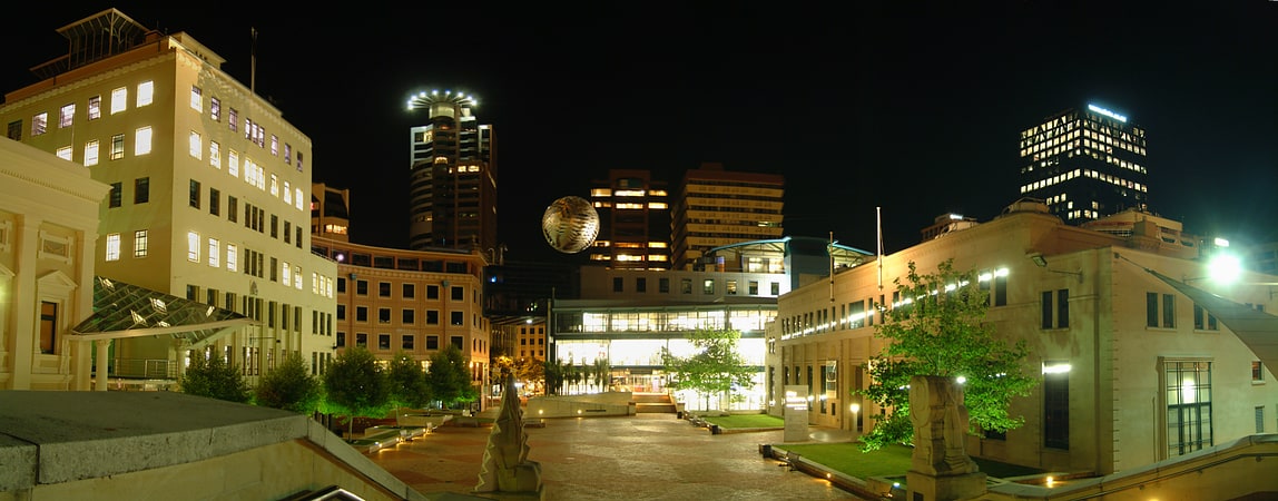
Lambton Ward (Kelburn)Wellington
ContactAdd
Social media
Add
Getting there by public transportation
Public transportation stops near this location
- Bus
- Train
- Ferry
 Bus
Bus
- Calculate routeKelburn 8 min walk
- Calculate routeTalavera 10 min walk
- Calculate routeLambton 13 min walk
- Calculate routeWellington Railway Station 25 min walk
- Calculate routeWellington Harbour Ferry 18 min walk
- Calculate routeWellington Station Bus Interchange 25 min walk
- Calculate routeMolesworth Street – Cathedral 28 min walk
Day trips

Frequently Asked Questions (FAQ)
Which popular attractions are close to Wellington College of Education?
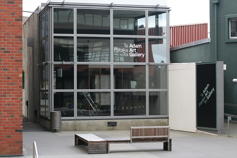
Nearby attractions include New Zealand Electronic Text Collection, Wellington (1 min walk), Victoria University of Wellington, Wellington (1 min walk), Adam Art Gallery, Wellington (2 min walk), Hunter Building, Wellington (3 min walk).
How to get to Wellington College of Education by public transport?
The nearest stations to Wellington College of Education:
Train
Ferry
Bus
Train
- Kelburn (8 min walk)
- Talavera (10 min walk)
Ferry
- Wellington Harbour Ferry (18 min walk)
Bus
- Wellington Station Bus Interchange (25 min walk)
- Molesworth Street – Cathedral • Lines: 14, 91 (28 min walk)