National Law Enforcement System, Whanganui

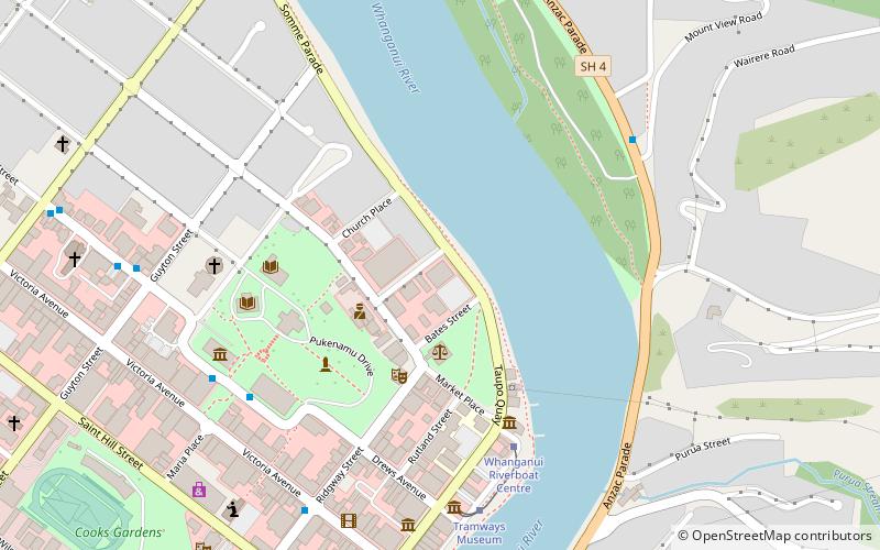
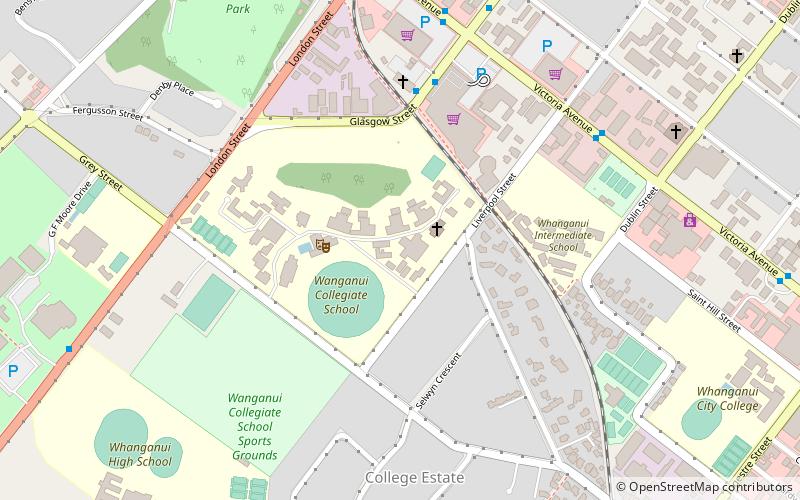
Map
Facts and practical information
The National Law Enforcement System, better known as the Wanganui Computer, was a database set up in 1976 by the State Services Commission in Wanganui, New Zealand. It held information which could be accessed by New Zealand Police, Land Transport Safety Authority and the justice department. ()
Coordinates: 39°55'50"S, 175°3'23"E
Address
Whanganui
ContactAdd
Social media
Add
Day trips
National Law Enforcement System – popular in the area (distance from the attraction)
Nearby attractions include: Whanganui Regional Museum, Sarjeant Gallery, Royal Whanganui Opera House, Moutoa Gardens.
Frequently Asked Questions (FAQ)
Which popular attractions are close to National Law Enforcement System?
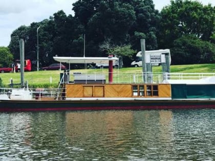
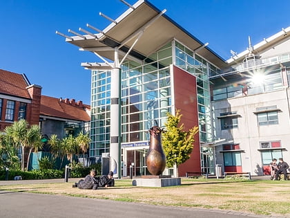
Nearby attractions include Moutoa Gardens, Whanganui (3 min walk), Motor Vessel Wairua, Whanganui (5 min walk), Waimarie, Whanganui (5 min walk), Universal College of Learning, Whanganui (5 min walk).
How to get to National Law Enforcement System by public transport?
The nearest stations to National Law Enforcement System:
Bus
Bus
- Main Terminal • Lines: 7 (10 min walk)


