Moumoukai Peak, Raoul Island
Map
Facts and practical information
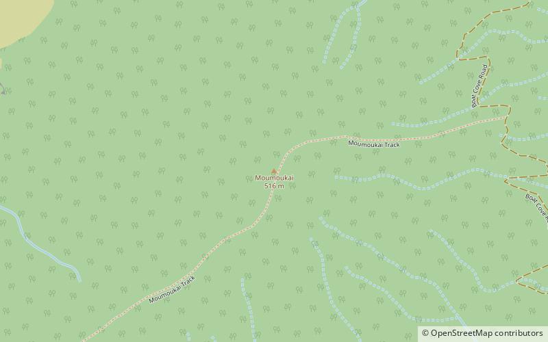
Moumoukai Peak is a mountain situated on Raoul Island. Its peak is at an elevation of 516 m. ()
Coordinates: 29°16'3"S, 177°54'29"W
Address
Raoul Island
ContactAdd
Social media
Add
Day trips
Moumoukai Peak – popular in the area (distance from the attraction)
Nearby attractions include: Nugent Island.
