Maungakiekie / One Tree Hill, Auckland
Map
Gallery
Facts and practical information
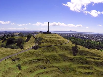
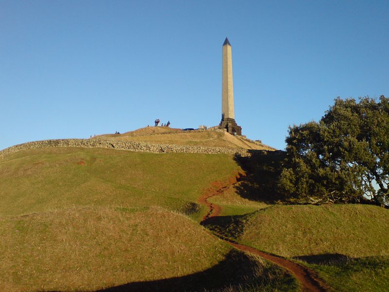
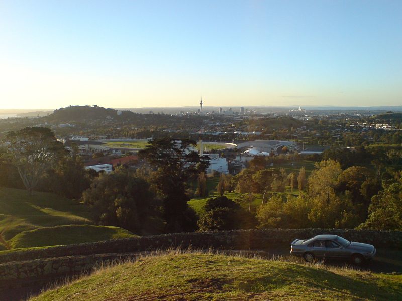
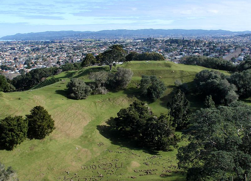
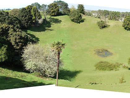
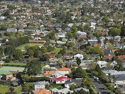
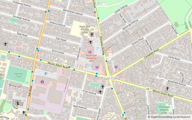
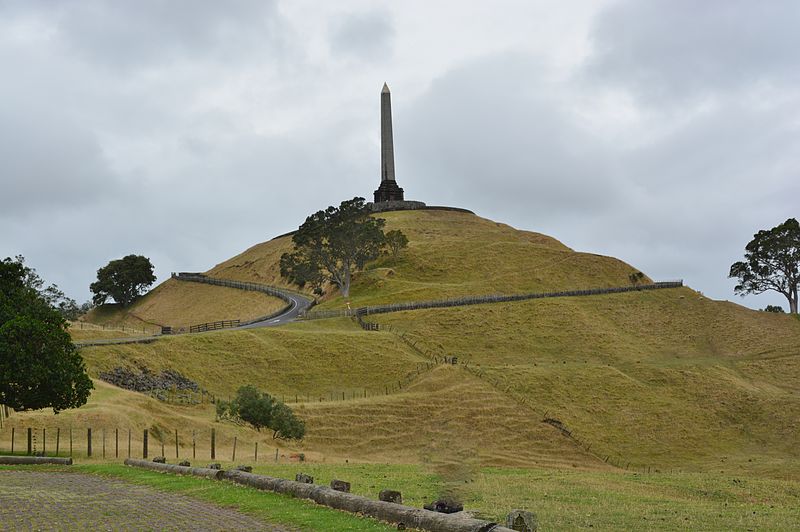
Maungakiekie / One Tree Hill is a 182-metre volcanic peak in Auckland, New Zealand. It is an important memorial place for both Māori and other New Zealanders. The suburb around the base of the hill is also called One Tree Hill. It is surrounded by the suburbs of Royal Oak to the west, and clockwise, Epsom, Greenlane, Oranga, and Onehunga. The summit provides views across the Auckland area, and allows visitors to see both of Auckland's harbours. ()
Address
670 Manukau Rd (main entrance)Central Auckland (One Tree Hill)Auckland
Contact
+64 9 630 8485
Social media
Add
Day trips
Maungakiekie / One Tree Hill – popular in the area (distance from the attraction)
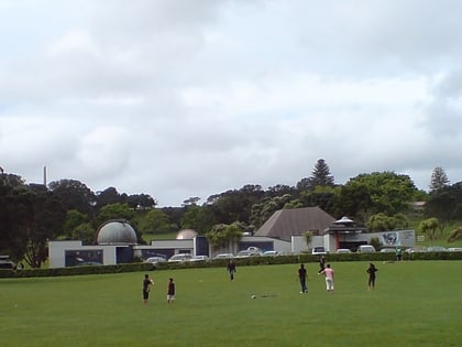
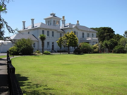
Nearby attractions include: Stardome Observatory, Pah Homestead, Mount Saint John, Epsom.
Frequently Asked Questions (FAQ)
Which popular attractions are close to Maungakiekie / One Tree Hill?
Nearby attractions include Stardome Observatory, Auckland (14 min walk), Alexandra Park, Auckland (18 min walk), Royal Oak, Auckland (23 min walk).
How to get to Maungakiekie / One Tree Hill by public transport?
The nearest stations to Maungakiekie / One Tree Hill:
Bus
Train
Bus
- Manukau Road • Lines: 321, 650, Out (18 min walk)
- Greenlane West • Lines: Out (20 min walk)
Train
- Greenlane (28 min walk)
