Papanui, Christchurch
Facts and practical information
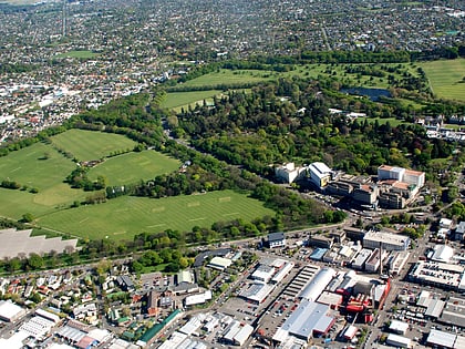
Papanui is a major suburb of Christchurch, New Zealand. It is situated five kilometers to the northwest of the city centre. Papanui is a middle socio-economic area with a population of 3,645 consisting predominantly of Pākehā 86.9%, Asian 7.6%, Māori 5.3%, Pacific peoples 3.1%, Middle Eastern/Latin American/African 0.7%. The suburb is located at the junction of three busy thoroughfares; Papanui Road leading to the City, the Main North Road that leads to North Canterbury and Harewood Road that leads to Christchurch International Airport. However, as with most Christchurch suburbs, Papanui has no defined borders. ()
PapanuiChristchurch
Papanui – popular in the area (distance from the attraction)
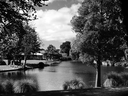
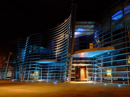
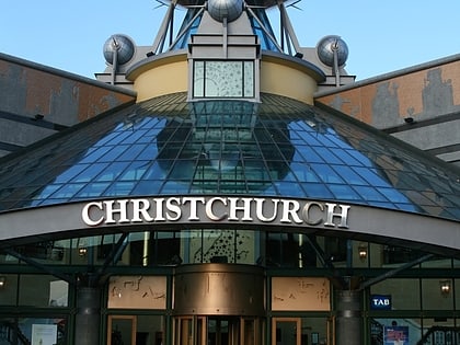
Nearby attractions include: Christchurch Botanic Gardens, Hagley Park, Westfield Riccarton, Mona Vale.
Frequently Asked Questions (FAQ)
How to get to Papanui by public transport?
Bus
- Wairakei Rd near Idris Rd • Lines: 17 (20 min walk)
- Strowan Rd near Lloyd St • Lines: 17 (20 min walk)


