Stirling Point, Bluff
Map

Map

Facts and practical information
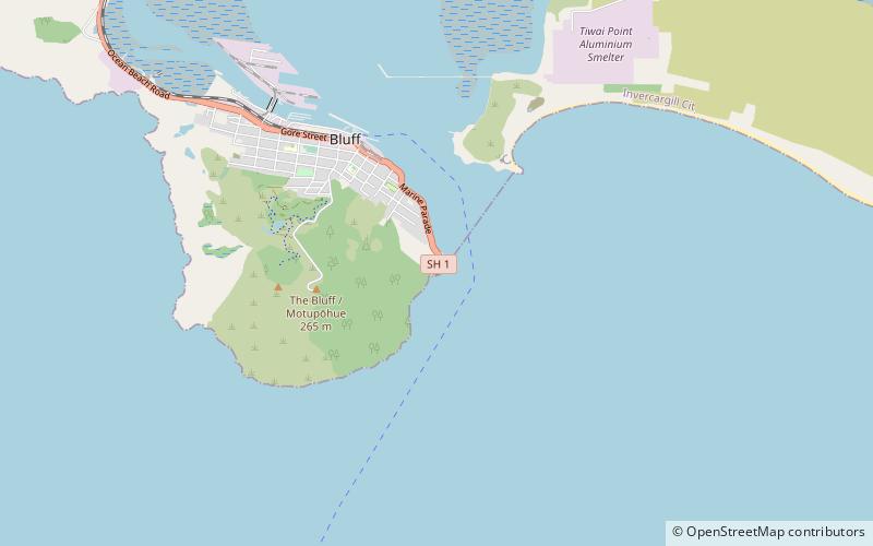
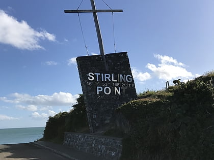
Stirling Point is a landmark at the southern end of the New Zealand town of Bluff, New Zealand. It is notable as the southern end of both State Highway 1 and Te Araroa; both these facilities span the length of the country. Stirling Point hosts a signpost with multiple directional signs; it is one of the most photographed items in Southland. Stirling Point has an anchor chain sculpture which replicates the sculpture on Stewart Island. ()
Coordinates: 46°36'48"S, 168°21'28"E
Address
Bluff
ContactAdd
Social media
Add
Day trips
Stirling Point – popular in the area (distance from the attraction)
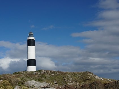
Nearby attractions include: Dog Island Lighthouse, Bluff Maritime Museum.


