Parengarenga Harbour, Te Hāpua
Map

Map

Facts and practical information
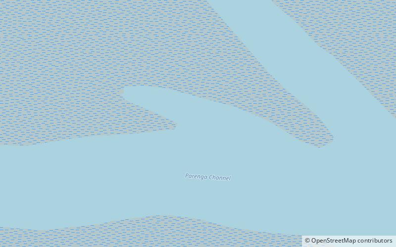
Parengarenga Harbour is a natural harbour close to the northernmost point on the North Island of New Zealand. Located at the northern end of the Aupouri Peninsula, it extends inland for over 10 kilometres, almost severing the northern tip of the island from the rest of the peninsula. The harbour's mouth is towards the northern end of Great Exhibition Bay. The island's northernmost point, at the Surville Cliffs is only about 10 kilometres north of the harbour. Te Hapua is a settlement at the western side of the harbour. ()
Coordinates: 34°30'60"S, 172°56'60"E
Address
Te Hāpua
ContactAdd
Social media
Add
