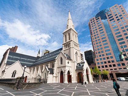
Queen Street, Auckland
Map
Gallery
Facts and practical information
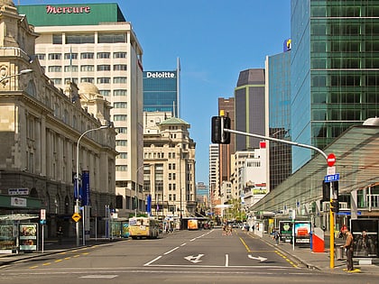
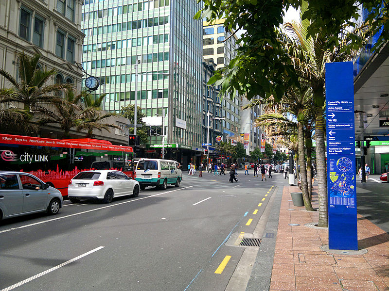
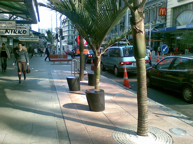
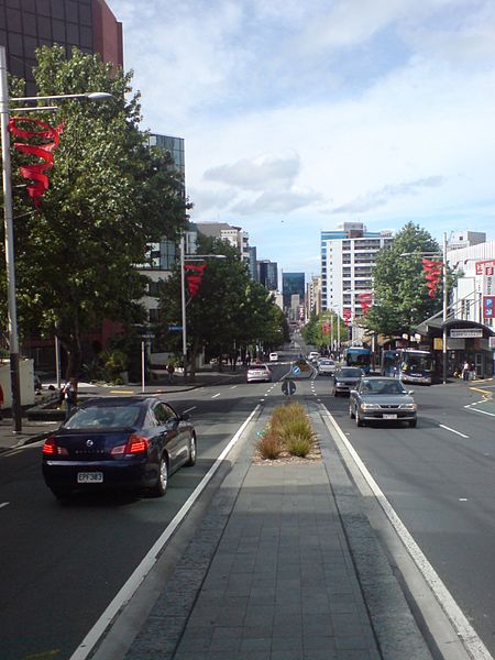
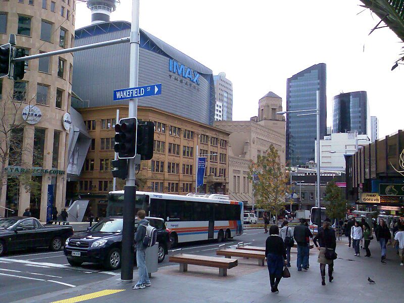
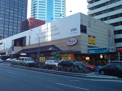
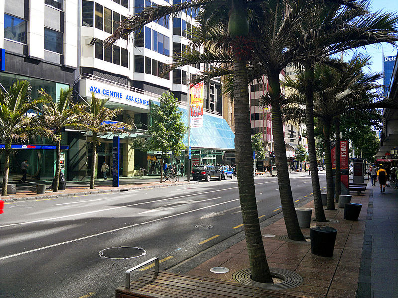
Queen Street is the major commercial thoroughfare in the Auckland CBD, Auckland, New Zealand's main population centre. The northern end is at Queens Wharf on the Auckland waterfront, adjacent to the Britomart Transport Centre and the Downtown Ferry Terminal. The road is close to straight, the southern end being almost three kilometres away in a south-southwesterly direction on the Karangahape Road ridge, close to the residential suburbs in the interior of the Auckland isthmus. ()
Coordinates: 36°50'59"S, 174°45'54"E
Day trips
Queen Street – popular in the area (distance from the attraction)
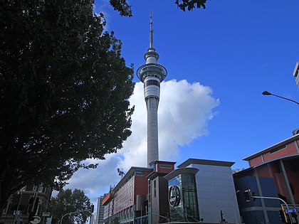
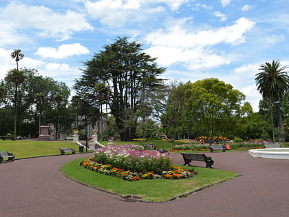
Nearby attractions include: Sky Tower, Albert Park, Commercial Bay Shopping Centre, St Paul's Church.
Frequently Asked Questions (FAQ)
Which popular attractions are close to Queen Street?
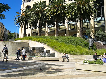
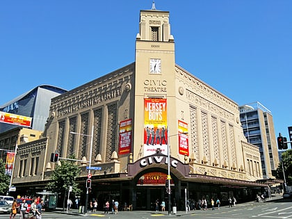
Nearby attractions include Gow Langsford Gallery, Auckland (2 min walk), Khartoum Place, Auckland (3 min walk), Auckland CBD, Auckland (3 min walk), Civic Theatre, Auckland (3 min walk).
How to get to Queen Street by public transport?
The nearest stations to Queen Street:
Bus
Train
Ferry
Tram
Bus
- 7022 • Lines: 24R (2 min walk)
- Wellesley E • Lines: Out (2 min walk)
Train
- Britomart (11 min walk)
- Parnell (20 min walk)
Ferry
- Downtown Pier 1 (13 min walk)
- Downtown Pier 11 (14 min walk)
Tram
- Gaunt Street • Lines: Wynyard Loop (16 min walk)
- Halsey Street • Lines: Wynyard Loop (18 min walk)
