Stevensons Island, Wānaka

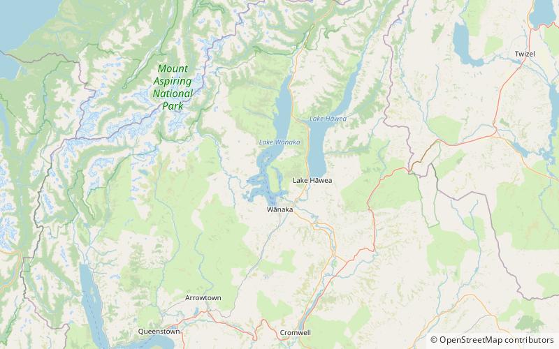
Map
Facts and practical information
Stevensons Island is a small 65-hectare island in the Stevensons Arm section of Lake Wanaka, New Zealand. There are two small islets close to the south end of the island. ()
Area: 160.62 acres (0.251 mi²)Maximum elevation: 1066 ftTotal islands: 3Coordinates: 44°35'46"S, 169°8'6"E
Address
Wānaka
ContactAdd
Social media
Add
Day trips
Stevensons Island – popular in the area (distance from the attraction)
Nearby attractions include: Mou Waho Island.
