Lagos Island, Lagos
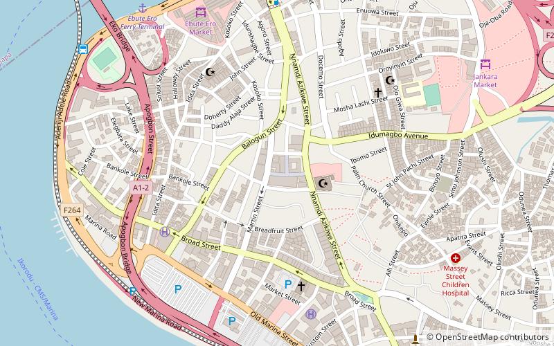
Map
Map

Facts and practical information
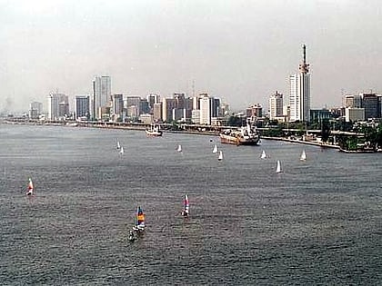
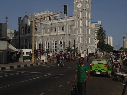
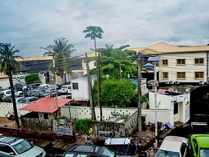
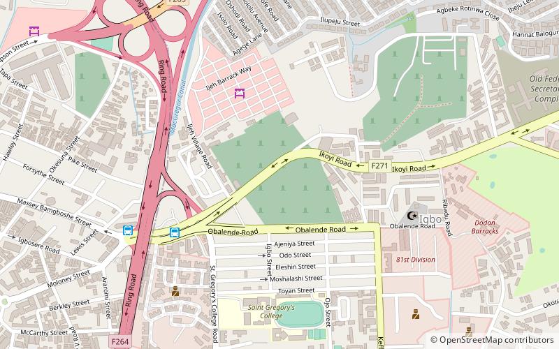
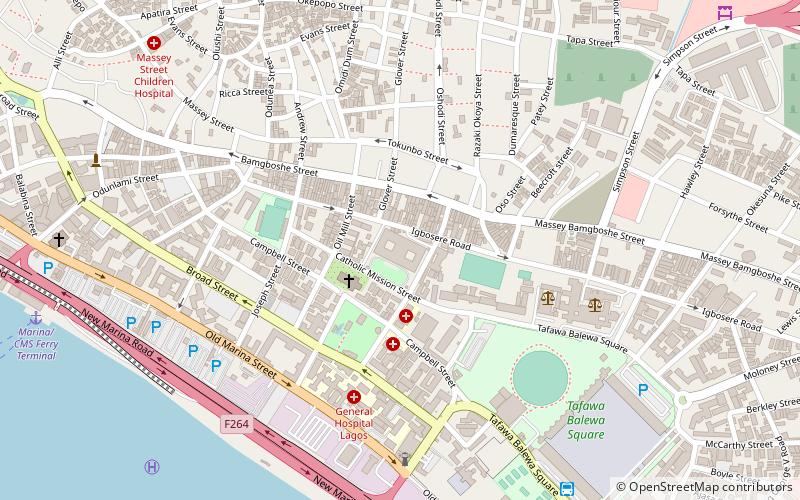
Lagos Island is the principal and central local government area in Lagos, Lagos State, Nigeria. It covers the western part of the eponymous island and is part of the Lagos Division. As of the preliminary 2006 Nigerian census, the LGA had a population of 209,437 in an area of 8.7 km2. The LGA only covers the western half of Lagos Island; the eastern half is simply referred to as Lagos Island East LCDA. ()
Address
Catholic Mission StreetLagos IslandLagos
ContactAdd
Social media
Add
Day trips
Lagos Island – popular in the area (distance from the attraction)
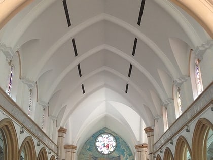
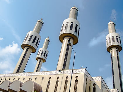
Nearby attractions include: Holy Cross Cathedral, Shitta-Bey Mosque, Lagos Central Mosque, Cathedral Church of Christ.
Frequently Asked Questions (FAQ)
Which popular attractions are close to Lagos Island?
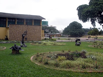
Nearby attractions include Holy Cross Cathedral, Lagos (3 min walk), Freedom Park, Lagos (4 min walk), Cathedral Church of Christ, Lagos (13 min walk), Tinubu Square, Lagos (16 min walk).
How to get to Lagos Island by public transport?
The nearest stations to Lagos Island:
Bus
Bus
- Tafawa Balewa Square Bus Terminal (11 min walk)
- Obalende Motor Park (18 min walk)
