Okrika
#143 among destinations in Nigeria

Facts and practical information
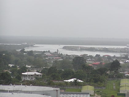
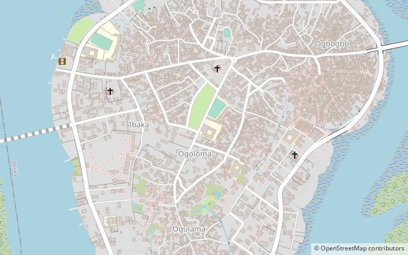
Okrika is an island in Rivers State, Nigeria, capital of the Local Government Area of the same name. The town is situated on an island south of Port Harcourt, making it a suburb of the much larger city. ()
RiversNigeria
Okrika – popular in the area (distance from the attraction)
Nearby attractions include: Onne, Port Harcourt Golf Club, Corpus Christi Cathedral, Port Harcourt Zoo.
 Area
AreaOnne, Port Harcourt
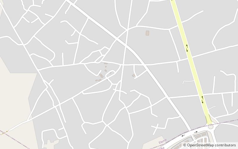
124 min walk • Onne also known as Onne-Eleme, is a town in Eleme, Rivers State, Nigeria. The town is a host to one of the two prominent ports in Nigeria. It is bordered by the towns of Alode, Ebubu and Ngololo Creek, a tributary of Bonny River.
 Golf
GolfPort Harcourt Golf Club, Port Harcourt
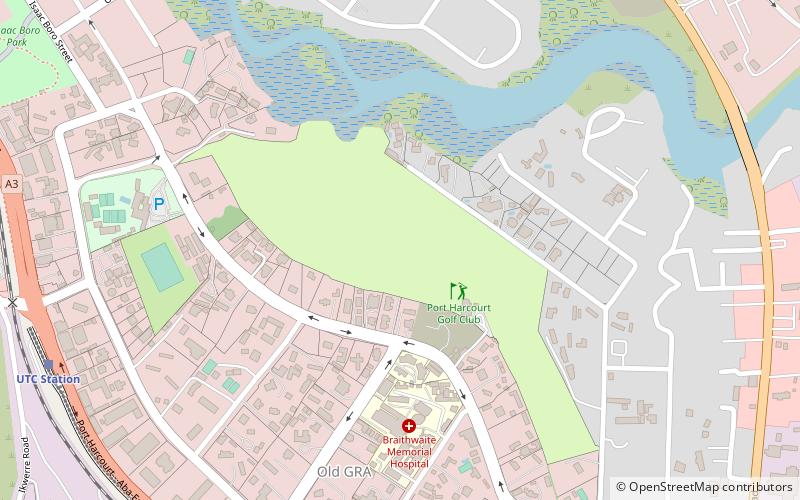
144 min walk • The Port Harcourt Golf Club is a public golf club established in 1928. It is one of oldest golf clubs in Nigeria with an 18-hole, par 70, 5,968 yard course. It was designed by Thomas Collins. The golf club is located at 31A Forces Avenue, Old GRA, Port Harcourt, Rivers State.
 Church
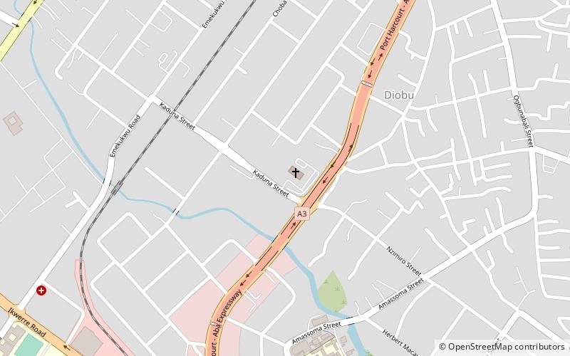
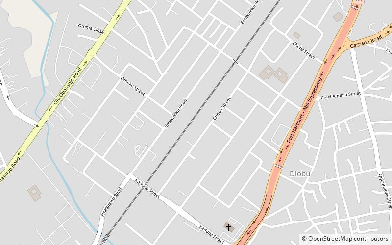
Corpus Christi Cathedral, Port Harcourt
172 min walk • The Corpus Christi Cathedral is a Roman Catholiccathedral in Port Harcourt, Rivers State, Nigeria. It is the seat of the Bishop of Port Harcourt and serves as the headquarters of the Diocese of Port Harcourt.
 Outdoor activities, Park, Zoo
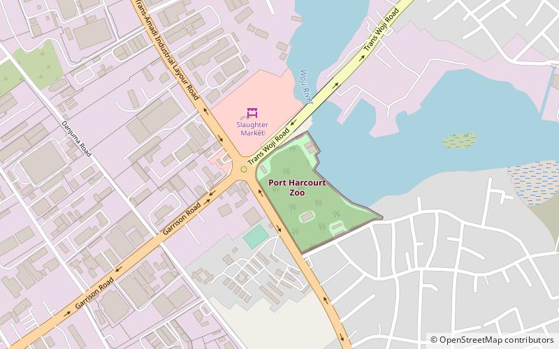
Port Harcourt Zoo, Port Harcourt
144 min walk • Port Harcourt Zoo is a state owned zoological park in Port Harcourt city of Rivers State in Nigeria. The zoo was established in 1974 by military governor Alfred Diete-Spiff and was officially opened to the public on 1 October 1975.
 Concerts and shows, Theater
Silverbird Cinema, Port Harcourt
158 min walk • Silverbird Cinema is a movie theater in Port Harcourt, Rivers State, located at former Obi Wali Cultural Centre, Abonnema Wharf Road. It was opened in April 2009 and is owned and operated by Silverbird Group.
 Neighbourhood
D-line, Port Harcourt
179 min walk • D-line is a major business and urban residential area of Port Harcourt, Rivers State. Its geographical coordinates are 4°48'8" North, 7°0'10" East. The neighborhood is sometimes spelled "D/Line" and has a zipcode of 500261.
 Harbor
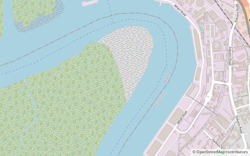
Port of Port Harcourt, Port Harcourt
147 min walk • The Port of Port Harcourt also called PH Port, is a port complex located in Port Harcourt, Rivers State, Nigeria. The Port first opened in 1913 and can cater to virtually all types of cargo.
 Park
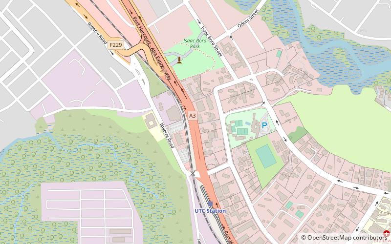
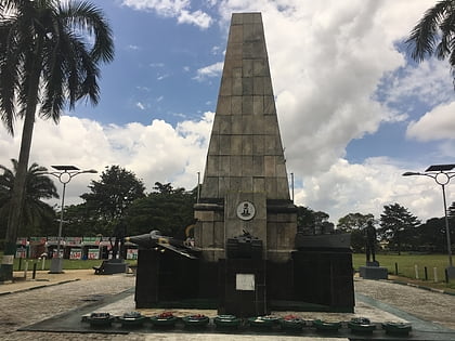
ParkIsaac Boro Park, Port Harcourt
161 min walk • Isaac Boro Park is a public park and outdoor recreation area located along the Old GRA neighborhood of Rivers State capital, Port Harcourt. The park is named after Isaac Boro, who was one of the pioneers of minority rights activism in Nigeria. The geographical coordinates of the park are: 4°47'16"N, 7°0'19"E.
 Cemetery
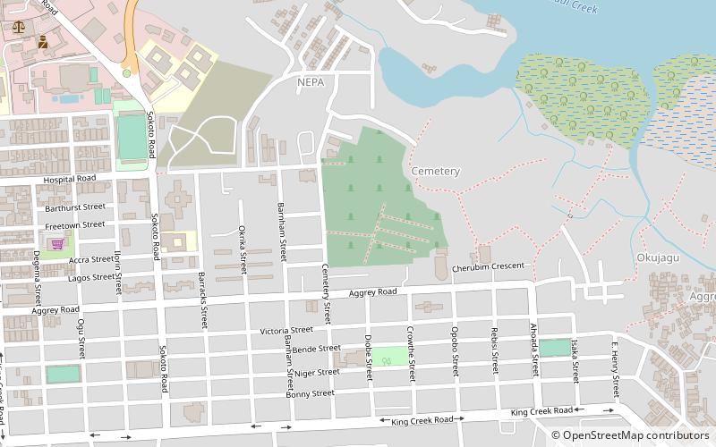
Port Harcourt Cemetery, Port Harcourt
106 min walk • Port Harcourt Cemetery is a city-owned and operated public cemetery located along Aggrey Road in the Old Township district of Port Harcourt, the Rivers State capital.
 Neighbourhood
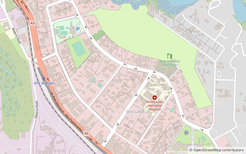
Old GRA, Port Harcourt
145 min walk • The Old Government Reserved Area is a neighborhood of the city of Port Harcourt, Rivers State in Nigeria. It was primarily inhabited by European settlers during colonial times and was then referred to as the European quarters.
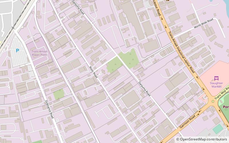 Neighbourhood
Trans Amadi, Port Harcourt
155 min walk • Trans Amadi is a thousand-hectare industrial area, as well as a diverse residential neighborhood, in the city of Port Harcourt. Situated at 4°48'53" N latitude and 7°2'14" E longitude, the neighborhood supports a strong manufacturing sector and is considered to be a major industrial zone in Port Harcourt.
