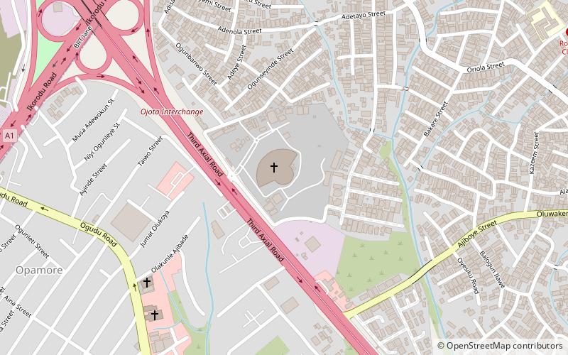
National Temple, Lagos
Facts and practical information
The National Temple in Lagos, Nigeria, stands as a beacon of spiritual solace and architectural grandeur in the bustling city. As a prominent church, it serves not only as a place of worship but also as a community hub for the faithful and a landmark of the city’s diverse cultural tapestry. The temple’s design reflects a blend of modern and traditional motifs, which resonate with the local populace and visitors alike.
The National Temple is more than just a physical structure; it is a symbol of unity and faith in a city characterized by its vibrant energy and eclectic mix of people. It regularly hosts a variety of religious services, community events, and outreach programs, underlining its role as a vital institution within Lagos. Its spacious interior accommodates a significant number of worshippers, offering a serene environment for reflection and prayer amidst the city's constant motion.
The church’s location in Lagos, a metropolis known for its historical significance and cultural richness, allows it to be easily accessible for both residents and tourists. The National Temple is a testament to the city’s commitment to providing spaces that cater to the spiritual needs of its diverse population.
Visitors to the National Temple can expect to find a welcoming congregation and a peaceful atmosphere conducive to contemplation and worship. The church’s activities are not limited to religious services; it also engages in charitable work, contributing to the welfare of the less fortunate in the community.
- Bus
 Bus
Bus
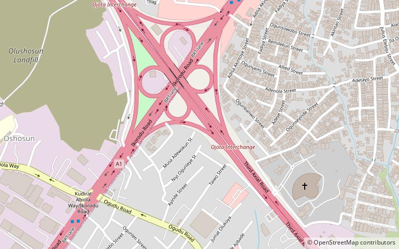
- Calculate routeMile 12 Bus Terminal 36 min walk
- Calculate routeMile 12 Bus Stop 37 min walk


Frequently Asked Questions (FAQ)
How to get to National Temple by public transport?
Bus
- Mile 12 Bus Terminal (36 min walk)
- Mile 12 Bus Stop • Lines: Ikorodu - Mile 12 BRT (37 min walk)