Borokiri, Port Harcourt
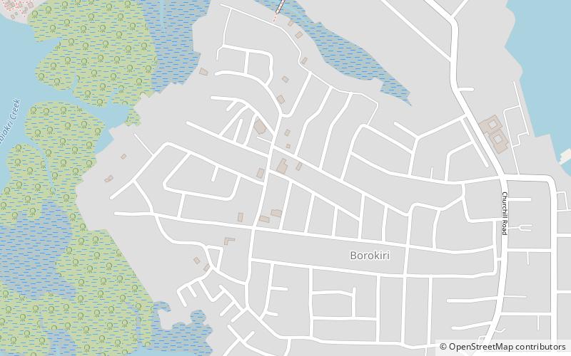
Map
Facts and practical information
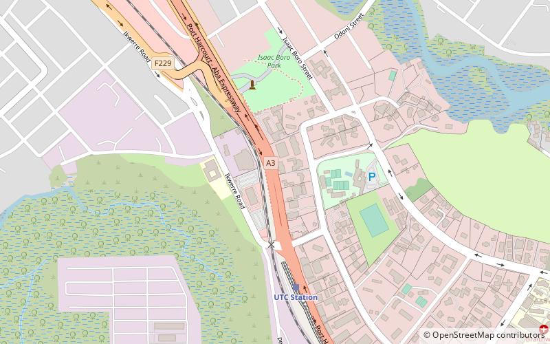
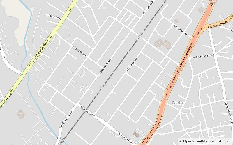
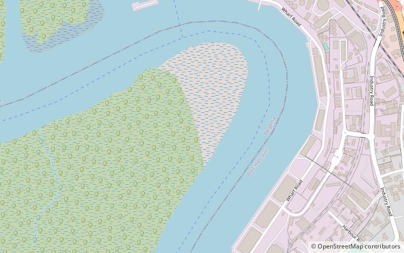
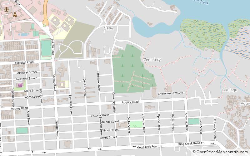
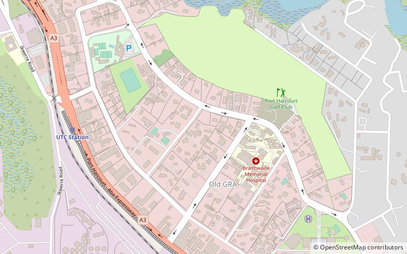
Borokiri is a neighborhood of the city of Port Harcourt situated just south of Old GRA in Rivers State, Nigeria. It lies at latitude 4.749° N and longitude 7.035° E. The neighborhood is bounded by Ahoada Street to the north, Okrika Island to the east, Orubiri oilfield to the south and Ship Builders Road to the west. Its land uses include residential, commercial, institutional and recreation. ()
Coordinates: 4°44'56"N, 7°2'6"E
Address
Port Harcourt
ContactAdd
Social media
Add
Day trips
Borokiri – popular in the area (distance from the attraction)
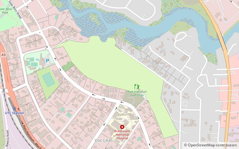
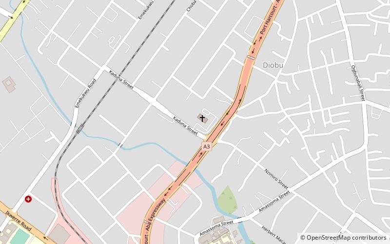
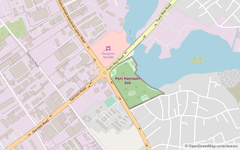
Nearby attractions include: Port Harcourt Golf Club, Corpus Christi Cathedral, Port Harcourt Zoo, Silverbird Cinema.
Frequently Asked Questions (FAQ)
How to get to Borokiri by public transport?
The nearest stations to Borokiri:
Train
Train
- Sharks Park Station (42 min walk)
