Turu Island, Pyongyang

Gallery (1)
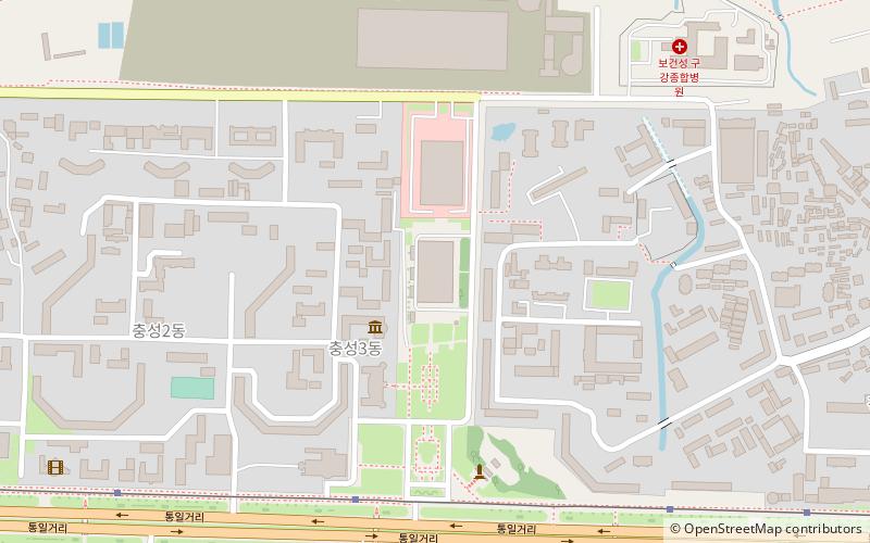
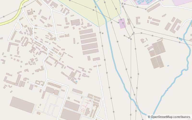
Map
Map
Facts and practical information
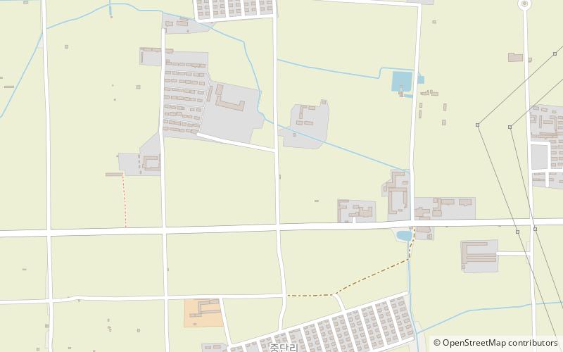
Turu Island is a large island in the Taedong River in Pyongyang, North Korea, separated by a shallow channel from the smaller Ssuk Island to its east. Since 1983 both islands have been accessible by road via an off-ramp in the middle of the Chungsong Bridge. The island was the site of the General Sherman incident, the destruction of an armed U.S. Merchant Marine side-wheel steamer in 1866. ()
Address
Pyongyang
ContactAdd
Social media
Add
Getting there by public transportation
Public transportation stops near this location
- Tram
 Tram
Tram
- Calculate routeStop 37 min walk
Day trips


Frequently Asked Questions (FAQ)
How to get to Turu Island by public transport?
The nearest stations to Turu Island:
Tram
Tram
- Stop • Lines: 2 (37 min walk)