Taga Beach, Tinian
Map
Facts and practical information
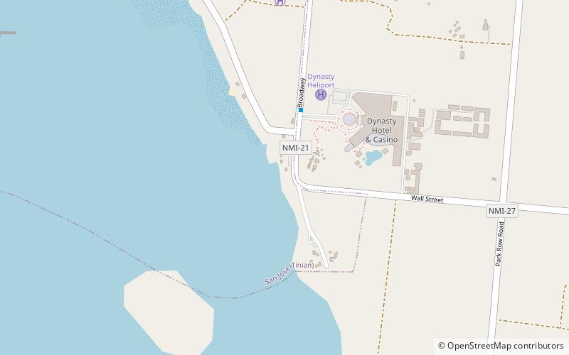
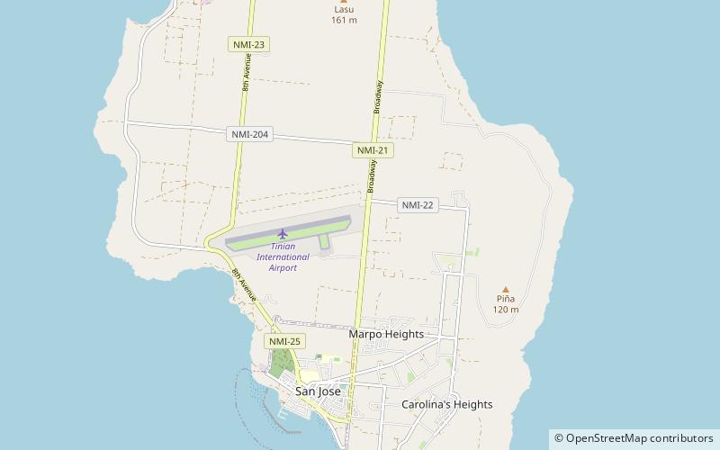
Taga Beach is a place located in Tinian (Tinian municipality) and belongs to the category of beach.
It is situated at an altitude of 33 feet, and its geographical coordinates are 14°57'27"N latitude and 145°37'48"E longitude.
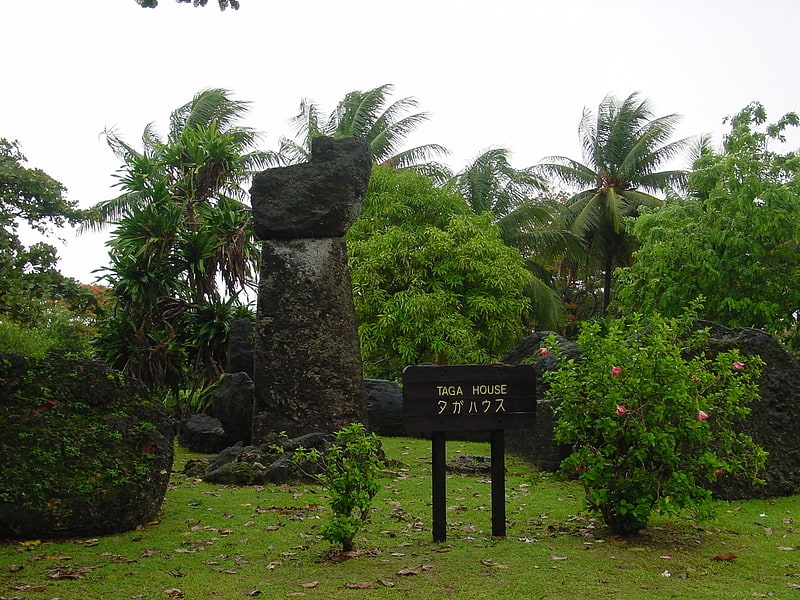
Among other places and attractions worth visiting in the area are: Tachogna Beach (beach, 9 min walk), Kammer Beach (beach, 16 min walk), House of Taga (archaeological site, 22 min walk).
Coordinates: 14°57'27"N, 145°37'48"E
Address
Tinian
ContactAdd
Social media
Add
Day trips

Frequently Asked Questions (FAQ)
Which popular attractions are close to Taga Beach?
Nearby attractions include Tachogna Beach, Tinian (9 min walk), Kammer Beach, Tinian (16 min walk), House of Taga, Tinian (22 min walk).