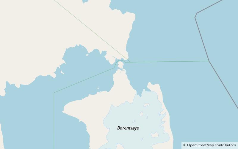
Frankenhalvøya, Barentsøya

Map
Facts and practical information
Frankenhalvøya is a peninsula at Barentsøya, Svalbard. It has a length of about nine kilometers, and a width of six kilometers. The peninsula is named after the German region of Franconia. The bay of Dorstbukta is situated between Frankenhalvøya and Besselsbreen. Northeast of the peninsula is the headland Kapp Voejkov. ()
Coordinates: 78°37'0"N, 21°12'0"E
Address
Barentsøya
ContactAdd
Social media
Add
Day trips
Frankenhalvøya – popular in the area (distance from the attraction)
Nearby attractions include: Kükenthaløya.
