Sortland Bridge, Sortland
Map

Map

Facts and practical information
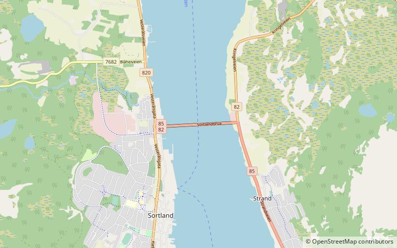
The Sortland Bridge is a cantilever road bridge that crosses the Sortlandssundet strait between the village of Strand on Hinnøya island and the town of Sortland on Langøya island. It is located within Sortland Municipality in Nordland county, Norway. The bridge is 948 metres long, the main span is 150 metres, and the maximum clearance to the sea is 30 metres. The bridge has 21 spans. ()
Local name: Sortlandbrua Opened: 1975 (51 years ago)Length: 3110 ftCoordinates: 68°42'24"N, 15°25'40"E
Address
Sortland
ContactAdd
Social media
Add
Day trips
Sortland Bridge – popular in the area (distance from the attraction)
Nearby attractions include: Sortland Church, Kvalsaukan Bridge, Sigerfjord Church, Jennestad Handelssted.
Frequently Asked Questions (FAQ)
Which popular attractions are close to Sortland Bridge?
Nearby attractions include Sortland Church, Sortland (15 min walk), Vesterålen, Sortland (22 min walk).


