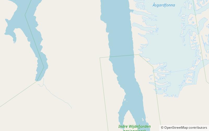
Purpurdalen, Indre Wijdefjorden National Park

Map
Facts and practical information
Purpurdalen is a valley in Andrée Land at Spitsbergen, Svalbard. It is located west of Wijdefjorden. The valley is named after the colour of Devonian rocks of the surrounding mountains. The braided river Purpurelva flows through the valley. Trappers built a cabin in Purpurdalen in the 1910s. ()
Coordinates: 79°20'23"N, 15°18'15"E
Address
Indre Wijdefjorden National Park
ContactAdd
Social media
Add