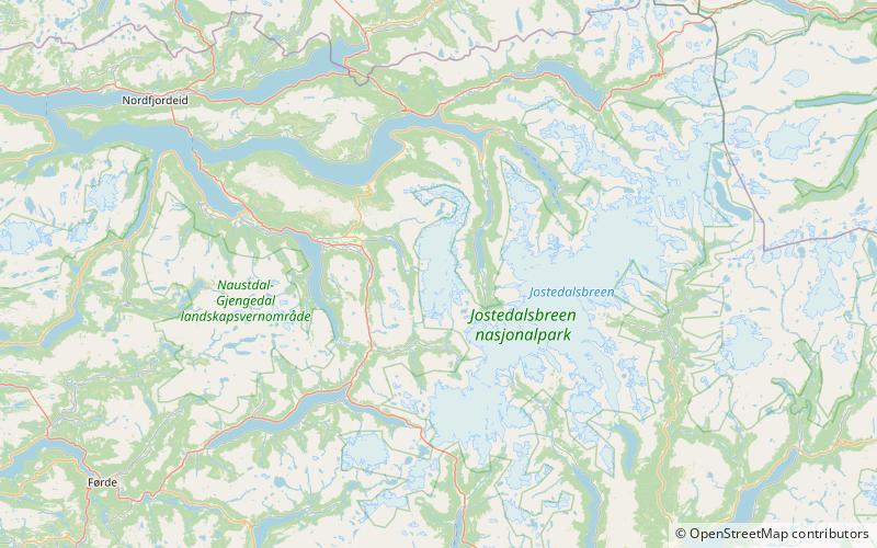
Myklebustbreen, Jostedalsbreen National Park
Map

Map

Facts and practical information
Myklebustbreen or Snønipbreen is the seventh largest glacier in mainland Norway. It is located in the municipalities of Nordfjord, Gloppen, and Stryn in Vestland county. Its highest point is located just below the nunatak Snønipa, with an altitude of 1,827 metres. The lowest point on the glacier is at an elevation of 890 metres above sea level. ()
Alternative names: Maximum elevation: 5994 ftMinimal elevation: 2920 ftCoordinates: 61°42'0"N, 6°42'0"E
Address
Jostedalsbreen National Park
ContactAdd
Social media
Add
Day trips
Myklebustbreen – popular in the area (distance from the attraction)
Nearby attractions include: Oldedalen, Ljosheim Chapel, Snønipa.


