Jotunheimen, Jotunheimen
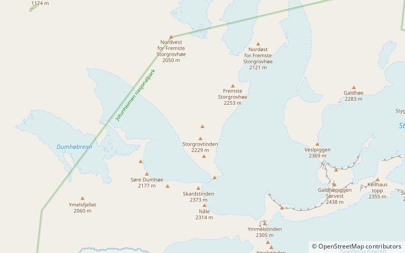
Map

Gallery
Facts and practical information
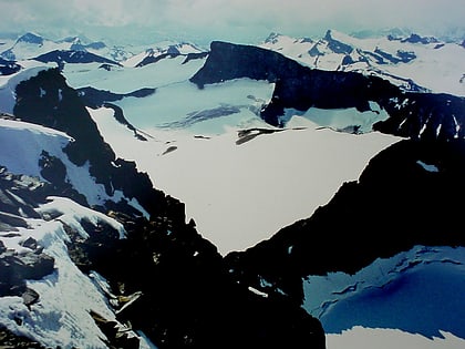
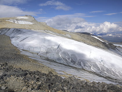
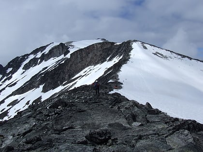
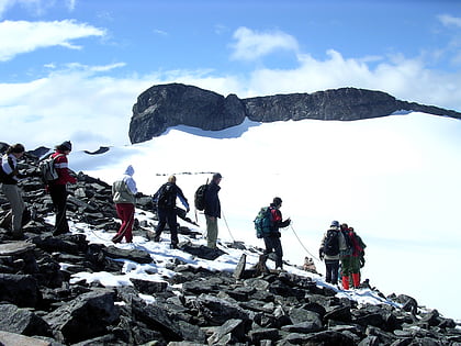
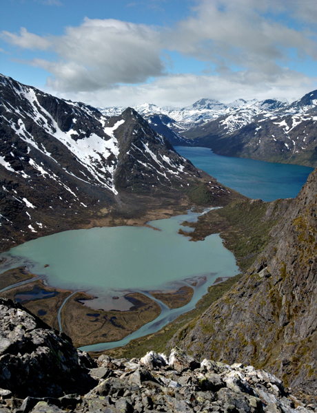
Jotunheimen is a mountainous area of roughly 3,500 km2 in southern Norway and is part of the long range known as the Scandinavian Mountains. The 29 highest mountains in Norway are all in Jotunheimen, including the very highest – Galdhøpiggen. Jotunheimen straddles the border between the counties of Innlandet and Vestland. ()
Alternative names: Area: 1351.36 mi²Maximum elevation: 8100 ftElevation: 8100 ftCoordinates: 61°37'60"N, 8°18'0"E
Address
Jotunheimen
ContactAdd
Social media
Add
Day trips
Jotunheimen – popular in the area (distance from the attraction)
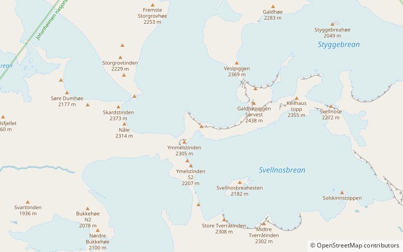
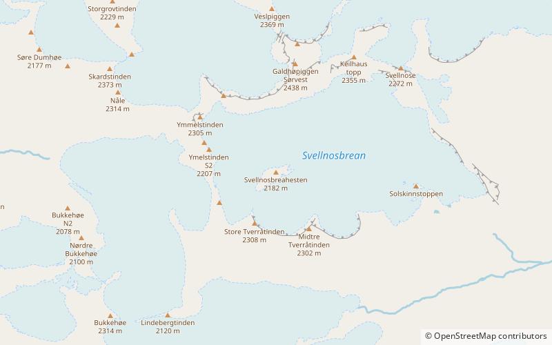
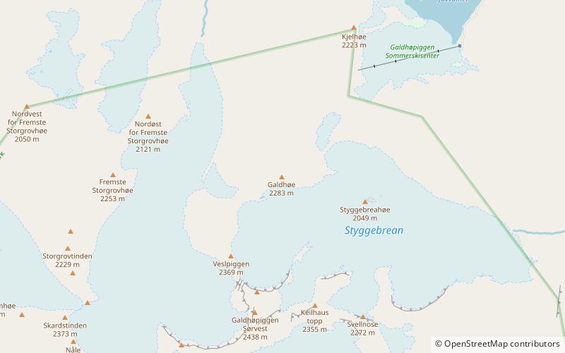
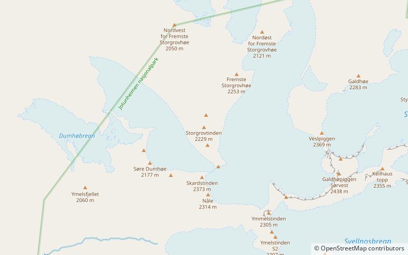
Nearby attractions include: Galdhøpiggen, Keilhaus topp, Storjuvtinden, Vesle Galdhøpiggen.
Frequently Asked Questions (FAQ)
Which popular attractions are close to Jotunheimen?
Nearby attractions include Storjuvtinden, Jotunheimen (8 min walk), Galdhøpiggen, Jotunheimen (12 min walk), Vesle Galdhøpiggen, Jotunheimen (14 min walk), Svellnosbreahesten, Jotunheimen (22 min walk).
