Tverrådalskyrkja, Breheimen National Park
Map
Map

Facts and practical information
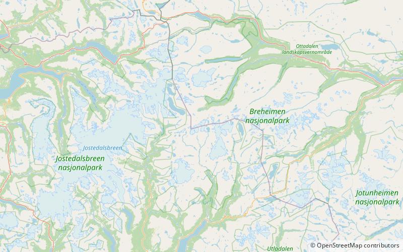
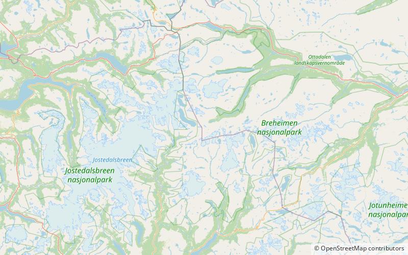
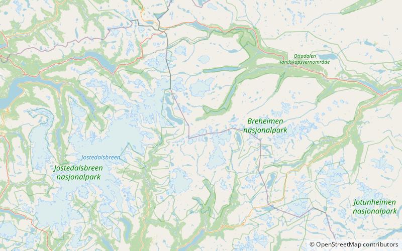
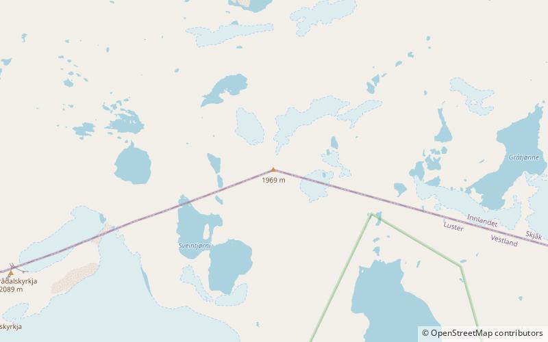
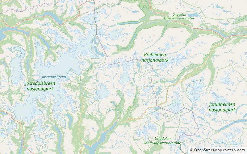
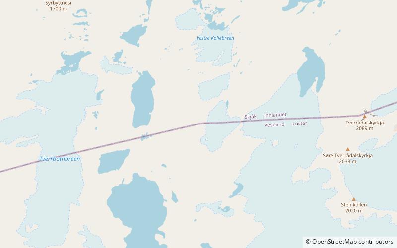
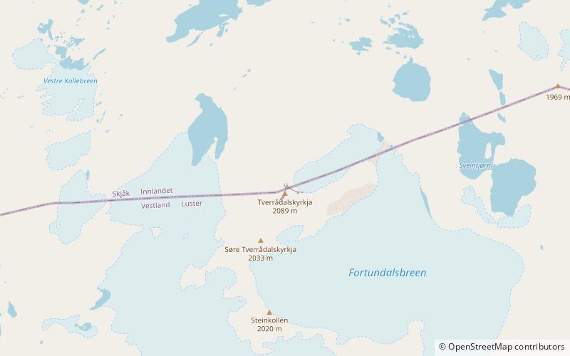
Tverrådalskyrkja is a mountain on the border between the municipalities of Luster and Skjåk, Norway. It is part of the Breheimen mountain range within Breheimen National Park, just north of the large Harbardsbreen glacier. It is 23 kilometres north of the village of Skjolden in Luster and 33 kilometres southwest of Bismo in Skjåk. ()
Alternative names: First ascent: 1842Elevation: 6850 ftProminence: 2133 ftCoordinates: 61°44'40"N, 7°41'12"E
Address
Breheimen National Park
ContactAdd
Social media
Add
Day trips
Tverrådalskyrkja – popular in the area (distance from the attraction)
Nearby attractions include: Rivenoskulen, Sprongeggi, Syrtbyttnosi, Tundradalskyrkja.

