Tyrifjorden
Map

Gallery

Facts and practical information
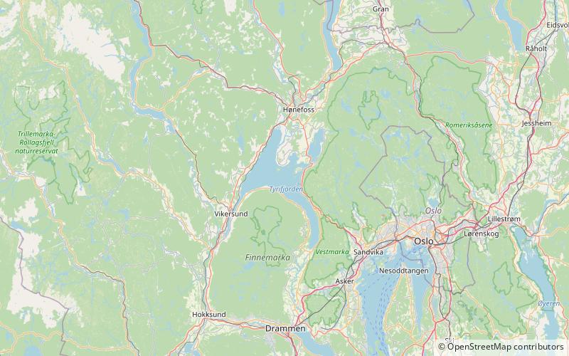
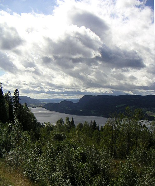
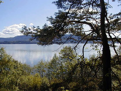
Tyrifjorden is a lake in Norway. It lies 40 kilometres northwest of Oslo and is the nation's fifth largest lake with an area of 139 km2. It has a volume of 13 km3, is 295 meters deep at its deepest, and lies 63 meters above sea level. The lake's primary source is the Begna river, which discharges into Tyrifjorden at Hønefoss where the river forms the waterfall of Hønefossen. Its primary outlet is at Vikersund near the lake's southwest corner, where Tyrifjorden discharges into the Drammenselva river. ()
Alternative names: Area: 53.5 mi²Maximum depth: 968 ftElevation: 207 ft a.s.l.Coordinates: 60°2'6"N, 10°11'59"E
Location
Buskerud
ContactAdd
Social media
Add
Day trips
Tyrifjorden – popular in the area (distance from the attraction)
Nearby attractions include: Breiliflaka, Øyangen, Utøya.


