Sauriedalen, Nordre Isfjorden National Park

Map
Facts and practical information
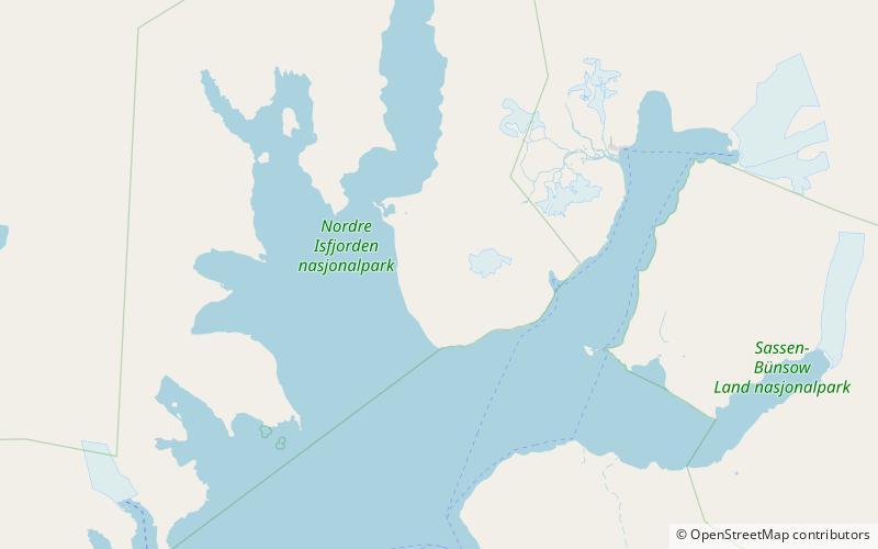
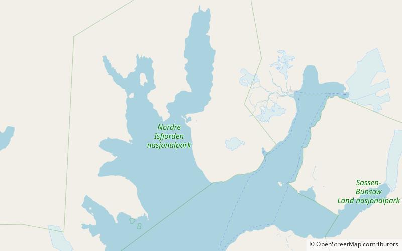
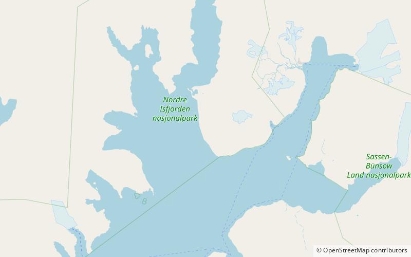
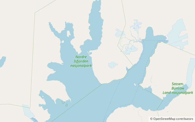
Sauriedalen is a valley in Dickson Land at Spitsbergen, Svalbard. It has a length of about sixteen kilometers, extending from Njordfjellet and Gyntflya to Tschermakfjellet. The valley is named from fossil Triassic reptiles, found in the nearby Saurieberget. ()
Coordinates: 78°31'48"N, 15°27'36"E
Address
Nordre Isfjorden National Park
ContactAdd
Social media
Add
Day trips
Sauriedalen – popular in the area (distance from the attraction)
Nearby attractions include: Idodalen, Tschermakfjellet, Kongressfjellet.


