Kolfjellet, Nordenskiöld Land National Park

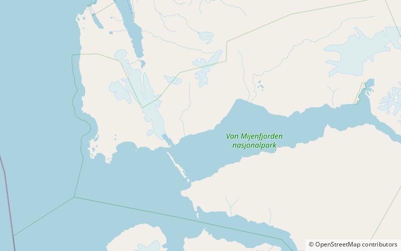
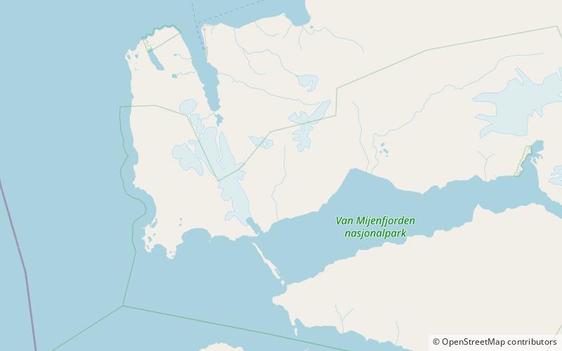
Map
Facts and practical information
Kolfjellet is a mountain in Nordenskiöld Land at Spitsbergen, Svalbard. The mountain is located north of Van Mijenfjorden and east of Berzeliusdalen, and is separated from Hesselbergaksla and Iskollen by the valley Kolfjelldalen and the glacier Kolfjellbreen. The name Kolfjellet stems from coal deposits in the mountain. The first registered ascent was accomplished in 1912. The mountain is included in the Nordenskiöld Land National Park. ()
Coordinates: 77°48'31"N, 14°56'33"E
Address
Nordenskiöld Land National Park
ContactAdd
Social media
Add
Day trips
Kolfjellet – popular in the area (distance from the attraction)
Nearby attractions include: Berzeliusdalen.
