Båtkvelvet, Nordaust-Svalbard Nature Reserve

Map
Facts and practical information
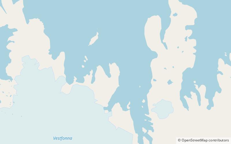
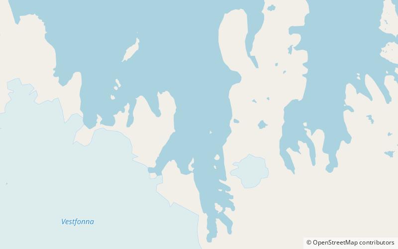
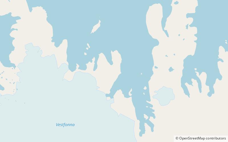
Båtkvelvet is a mountain in Gustav V Land at Nordaustlandet, Svalbard. It has a height of 343 m.a.s.l. and is located east of the bay Planciusbukta and west of Rijpfjorden. To the north the mountain ends at Kapp Lovén. The eastern side of the mountain falls steeply into the sea. ()
Coordinates: 80°14'21"N, 21°46'29"E
Address
Nordaust-Svalbard Nature Reserve
ContactAdd
Social media
Add
Day trips
Båtkvelvet – popular in the area (distance from the attraction)
Nearby attractions include: Rijpfjorden, Planciusdalen.

