Sverrefjellet, Nordvest-Spitsbergen National Park

Gallery (1)
Map
Map
Facts and practical information
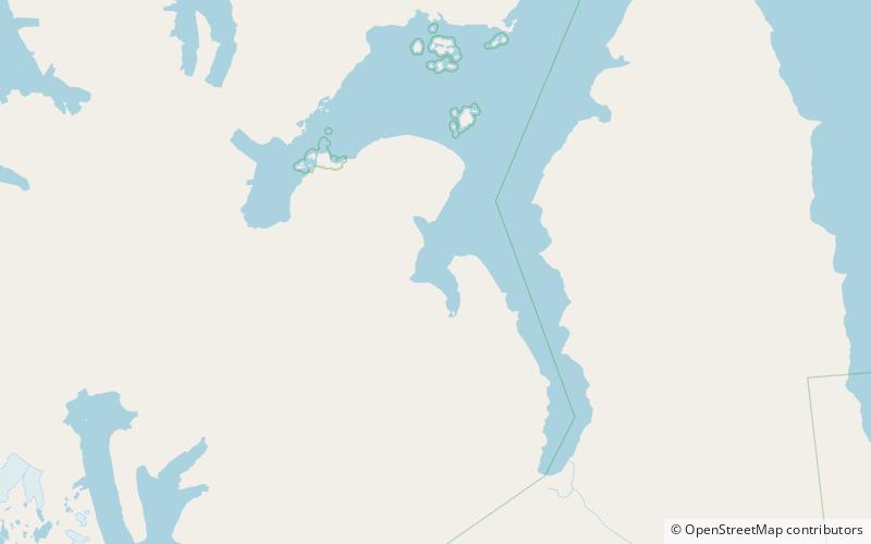
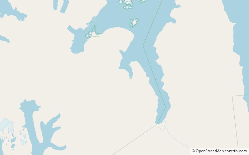
Sverrefjellet is a mountain in Haakon VII Land at Spitsbergen, Svalbard, at the western side of Bockfjorden. It has a height of 507 m.a.s.l. and is an extinct volcano. Sverrefjellet is named after Sverre Sigurdsson. ()
Coordinates: 79°25'54"N, 13°18'18"E
Address
Nordvest-Spitsbergen National Park
ContactAdd
Social media
Add
Day trips
Sverrefjellet – popular in the area (distance from the attraction)
Nearby attractions include: Bockfjorden.