Flakavatnet, Hallingskarvet National Park
Map
Map

Facts and practical information
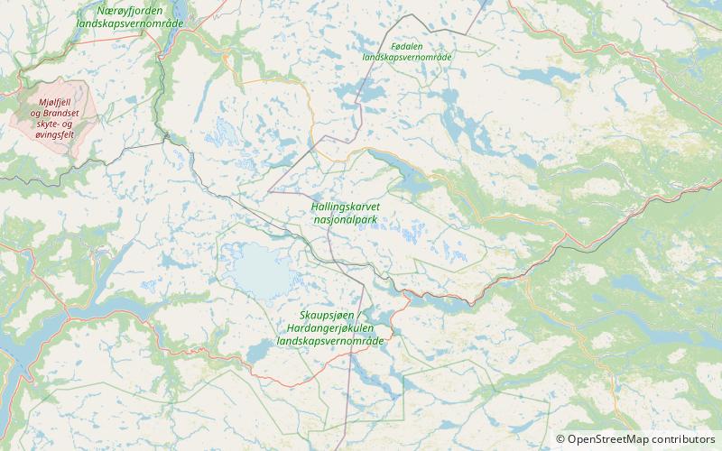
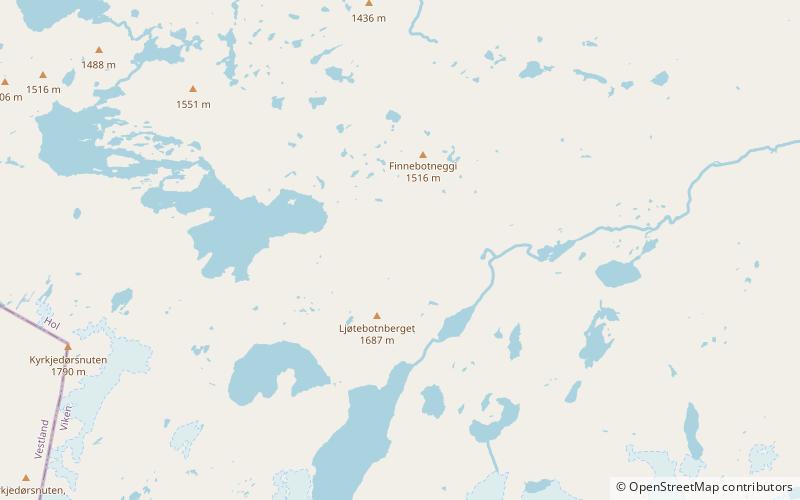
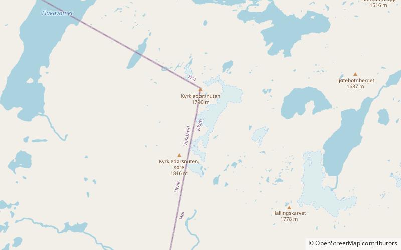
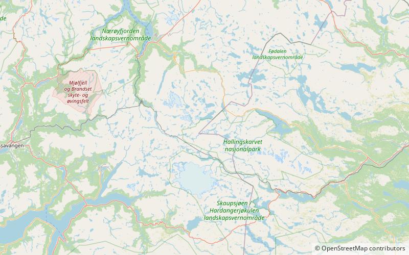
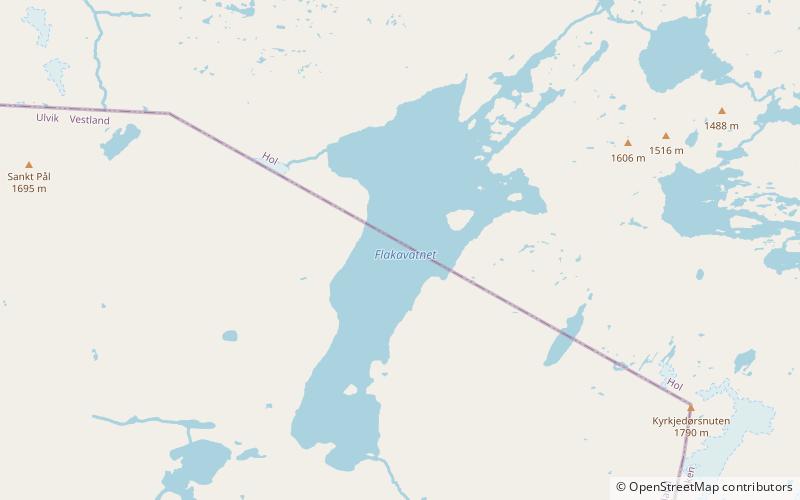
Flakavatnet is an alpine lake on the border of Vestland and Viken counties in Norway. The 3.43-square-kilometre lake lies in the municipalities of Ulvik and Hol and the lake lies entirely within the Hallingskarvet National Park. The village of Finse lies about 5 kilometres southwest of the lake. ()
Alternative names: Length: 2.8 miWidth: 6890 ftElevation: 4751 ft a.s.l.Coordinates: 60°38'45"N, 7°35'9"E
Address
Hallingskarvet National Park
ContactAdd
Social media
Add
Day trips
Flakavatnet – popular in the area (distance from the attraction)
Nearby attractions include: Finsevatnet, Hallingskarvet, Folarskardnuten, Ljøtebotnberget.


