St. Hallvard's Church and Monastery, Oslo
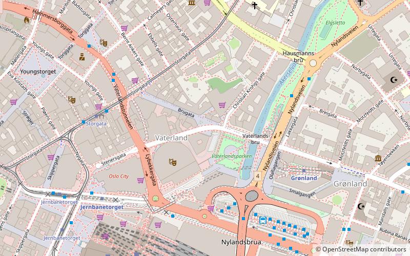
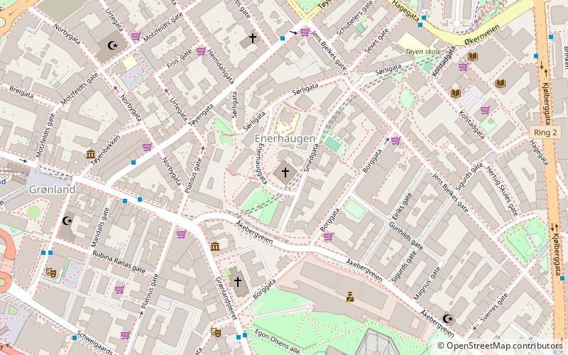
Map
Gallery
Facts and practical information
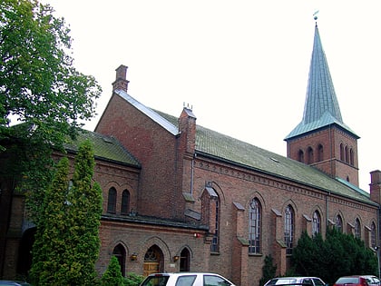
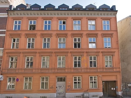
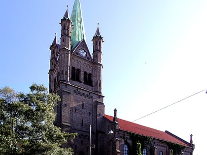
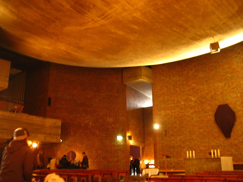
St. Hallvard's Church and Monastery on Enerhaugen in Oslo, Norway, not far from the former medieval St. Hallvard's Cathedral, is the location of the largest current parish of the Catholic Church in Norway. The Catholic parish church for eastern Oslo, it was run by the Franciscans until 1 September 2008. ()
Address
Enerhauggata 4Gamle Oslo (Enerhaugen)Oslo 0651
Contact
+47 23 30 32 00
Social media
Add
Day trips
St. Hallvard's Church and Monastery – popular in the area (distance from the attraction)
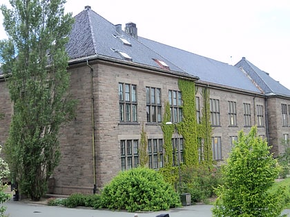
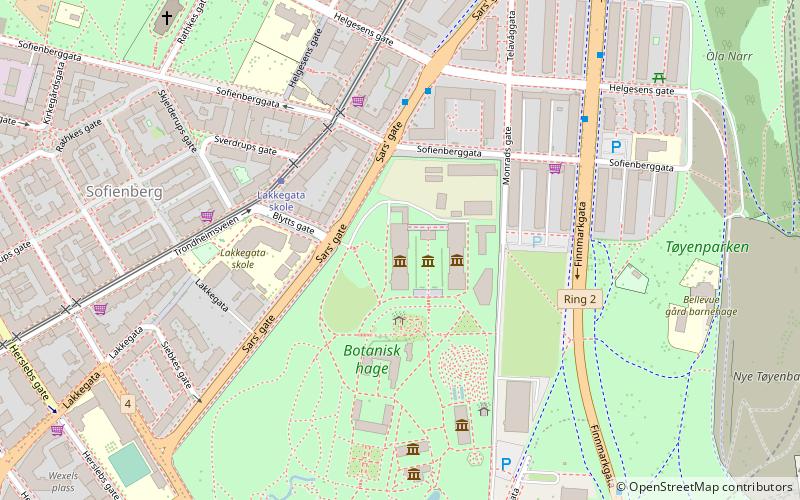
Nearby attractions include: University Botanical Garden, Oslo Spektrum, Nye Jordal Amfi, Natural History Museum at the University of Oslo.
Frequently Asked Questions (FAQ)
Which popular attractions are close to St. Hallvard's Church and Monastery?
Nearby attractions include Enerhaugen, Oslo (2 min walk), Grønland kirke, Oslo (3 min walk), Intercultural Museum, Oslo (6 min walk), Central Jamaat-e Ahl-e Sunnat, Oslo (6 min walk).
How to get to St. Hallvard's Church and Monastery by public transport?
The nearest stations to St. Hallvard's Church and Monastery:
Metro
Bus
Tram
Train
Ferry
Metro
- Grønland (8 min walk)
- Tøyen (9 min walk)
Bus
- Oslo Bus Terminal (10 min walk)
- Helsfyr T (28 min walk)
Tram
- Middelalderparken (13 min walk)
- Nybrua (13 min walk)
Train
- Oslo Central Station (15 min walk)
- Tøyen (18 min walk)
Ferry
- Munch Bjørvika • Lines: B9 (19 min walk)
- Salt brygge • Lines: B9 (23 min walk)
