Høgsnyta, Nordenskiöld Land National Park
Map
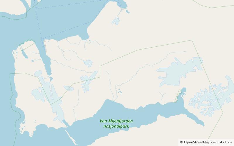
Map

Facts and practical information
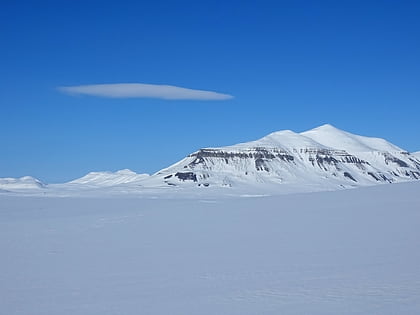
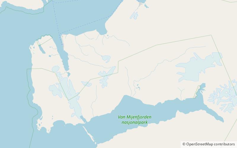
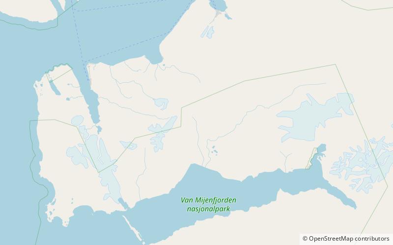
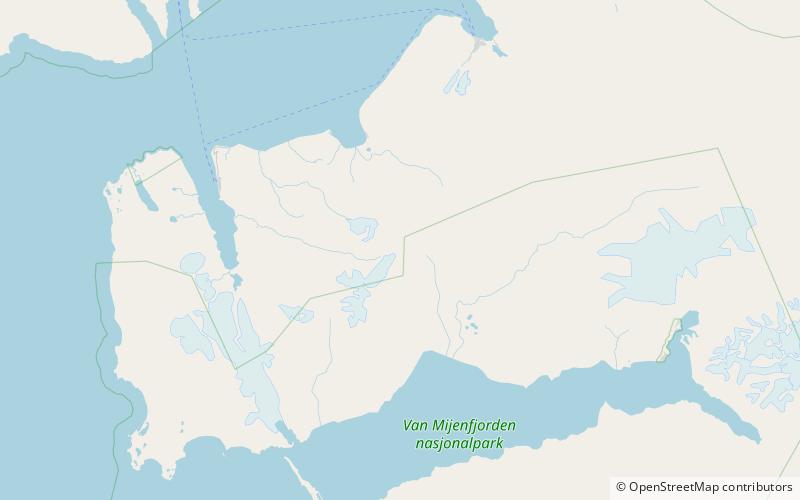
Høgsnyta is a mountain in Nordenskiöld Land at Spitsbergen, Svalbard. It has a height of 989 m.a.s.l. with a secondary peak of 881 meters to the north, and another peak of 780 meters to the south. The mountain is located north of Reindalen and east of Semmeldalen. It is included in the Nordenskiöld Land National Park. ()
Coordinates: 77°58'22"N, 15°32'37"E
Address
Nordenskiöld Land National Park
ContactAdd
Social media
Add
Day trips
Høgsnyta – popular in the area (distance from the attraction)
Nearby attractions include: Sinaiberget, Semmeldalen, Reindalen, Passdalen.
