Porsgrunn City Hall, Porsgrunn
Map

Map

Facts and practical information
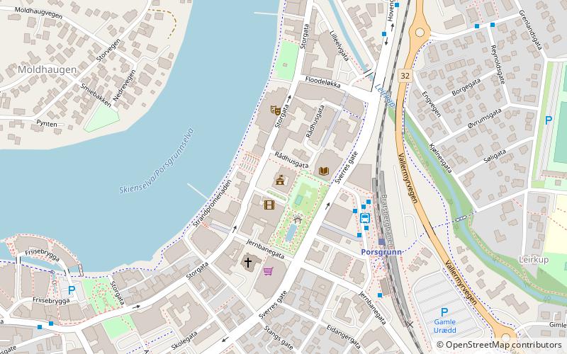
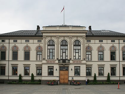
Porsgrunn City Hall is the seat of government for Porsgrunn city and municipality in Telemark, Norway. The current city hall was constructed in 1905 after the original building was destroyed in a fire. The building is situated at the intersection of Storgata and Rådhusgata in eastern Porsgrunn. ()
Architectural style: Art NouveauCoordinates: 59°8'28"N, 9°39'20"E
Address
Porsgrunn
ContactAdd
Social media
Add
Day trips
Porsgrunn City Hall – popular in the area (distance from the attraction)
Nearby attractions include: Porsgrunn Bridge, Porsgrund, Vår Frue Kirke, Frednes Bridge.
Frequently Asked Questions (FAQ)
Which popular attractions are close to Porsgrunn City Hall?
Nearby attractions include Vår Frue Kirke, Porsgrunn (8 min walk), Porsgrunn Bridge, Porsgrunn (13 min walk), Grenland friteater, Porsgrunn (14 min walk), DuVerden sjøfartsmuseum + vitensenter, Porsgrunn (19 min walk).
How to get to Porsgrunn City Hall by public transport?
The nearest stations to Porsgrunn City Hall:
Bus
Train
Bus
- Porsgrunn Kammerherreløkka (3 min walk)
Train
- Porsgrunn (4 min walk)


