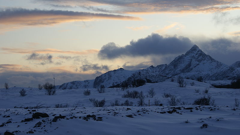
Skottinden, Vestvågøya

Gallery (2)
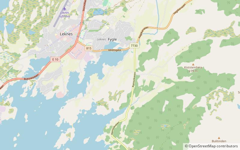
Map
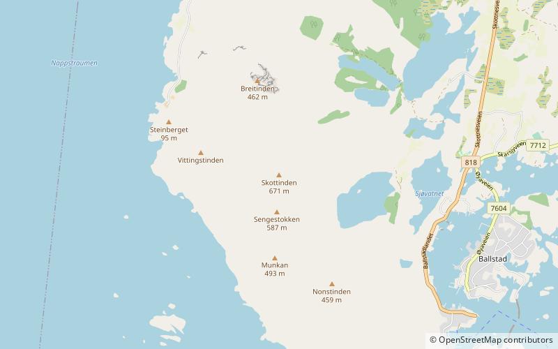
Map
Gallery
Facts and practical information
Skottinden is a mountain in the Lofoten archipelago, in Nordland county, Norway. It is located on the southwestern part of the island of Vestvågøya in Vestvågøy Municipality. The 671-metre tall mountain is situated about 2 kilometres northwest of the village of Ballstad and about 1 kilometre east of the Nappstraumen strait separating the islands of Vestvågøya and Flakstadøya. ()
Elevation: 2201 ftProminence: 2175 ftCoordinates: 68°4'55"N, 13°29'33"E
Address
Vestvågøya
ContactAdd
Social media
Add
Day trips