Skeiene bru, Sandnes

Gallery (1)
Map
Map
Facts and practical information
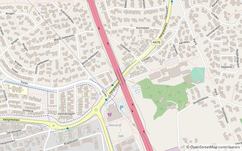
Skeiene bru (address: Vårveien 9) is a place located in Sandnes (Rogaland county) and belongs to the category of bridge.
It is situated at an altitude of 115 feet, and its geographical coordinates are 58°50'50"N latitude and 5°43'0"E longitude.
Planning a visit to this place, one can easily and conveniently get there by public transportation. Skeiene bru is a short distance from the following public transport stations: Skeiane (train, 16 min walk), Sandnes bussterminal (bus, 20 min walk).
Among other places and attractions worth visiting in the area are: Norwegian Runic Inscription 239 (stela, 8 min walk), Sandneshallen (sport venue, 9 min walk), Gand Church (church, 13 min walk).
Coordinates: 58°50'50"N, 5°43'0"E
Address
Vårveien 9Sandnes
ContactAdd
Social media
Add
Getting there by public transportation
Public transportation stops near this location
- Bus
- Train
 Bus
Bus
- Calculate routeSkeiane 16 min walk
- Calculate routeSandnes sentrum 21 min walk
- Calculate routeSandnes bussterminal 20 min walk
Day trips


Frequently Asked Questions (FAQ)
Which popular attractions are close to Skeiene bru?
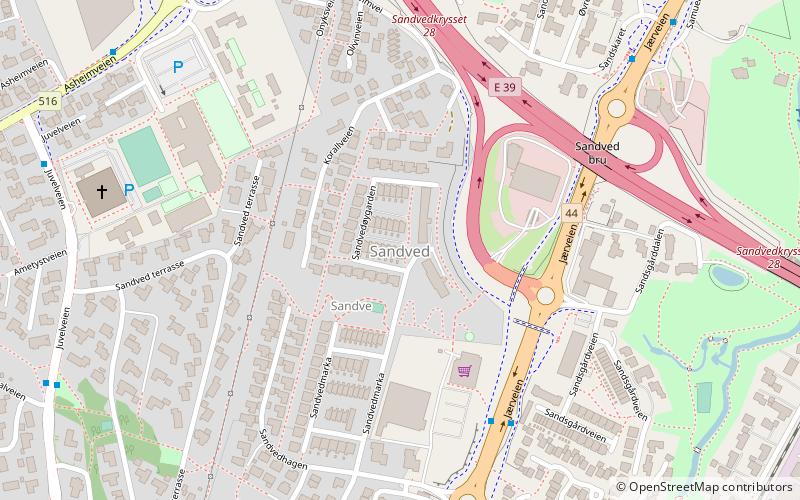
Nearby attractions include Norwegian Runic Inscription 239, Sandnes (8 min walk), Sandneshallen, Sandnes (9 min walk), Gand Church, Sandnes (13 min walk), Sandved, Sandnes (15 min walk).
How to get to Skeiene bru by public transport?
The nearest stations to Skeiene bru:
Train
Bus
Train
- Skeiane (16 min walk)
- Sandnes sentrum (21 min walk)
Bus
- Sandnes bussterminal (20 min walk)