Bøkeskogen, Larvik
Map
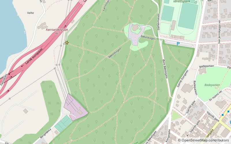
Map

Facts and practical information
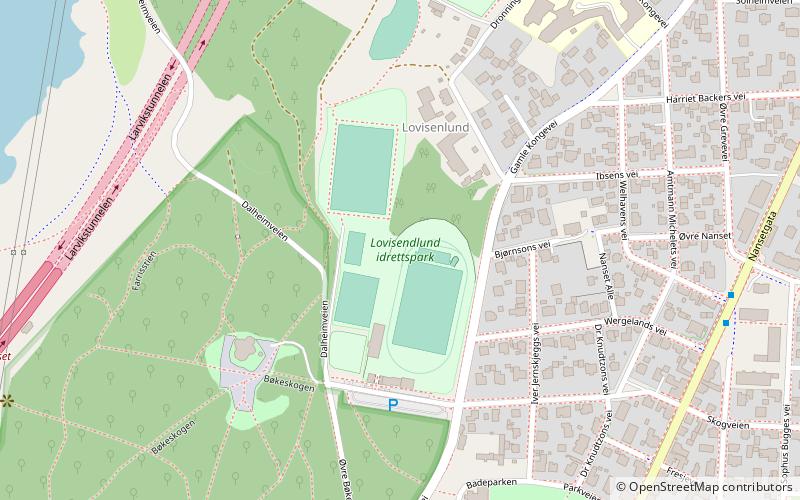
Bøkeskogen stretches inwards along Farris Lake in Larvik. It is an archeological area which is home to between 83, 90, and 100 burial mounds. It contains Vestfold County's largest burial grounds from the Pre-Roman Iron Age. Besides being Vestfold's largest grave site, Bøkeskogen is considered one of Norway's most accessible remains from the Viking Age. It is the world's northernmost beech tree forest. ()
Address
Larvik
ContactAdd
Social media
Add
Day trips
Bøkeskogen – popular in the area (distance from the attraction)
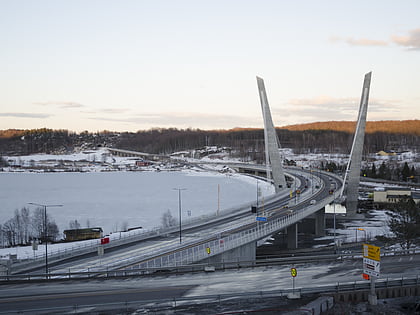
Nearby attractions include: Farrisbrua, Fritzøehus, Larvik Museum, Larvik Kirke.
Frequently Asked Questions (FAQ)
Which popular attractions are close to Bøkeskogen?
Nearby attractions include Larvik Museum, Larvik (13 min walk), Farrisbrua, Larvik (13 min walk), Larvik Kirke, Larvik (22 min walk).
How to get to Bøkeskogen by public transport?
The nearest stations to Bøkeskogen:
Bus
Train
Ferry
Bus
- Larvik bibliotek • Lines: 011, 214, 215 (8 min walk)
- Larvik sentrumsterminal • Lines: 01, 214 (9 min walk)
Train
- Larvik (15 min walk)
Ferry
- Larvik • Lines: Hirtshals(DK) - Larvik(NO), Larvik(NO) - Hirtshals(DK) (34 min walk)

