Lidfjellet, Sør-Spitsbergen National Park

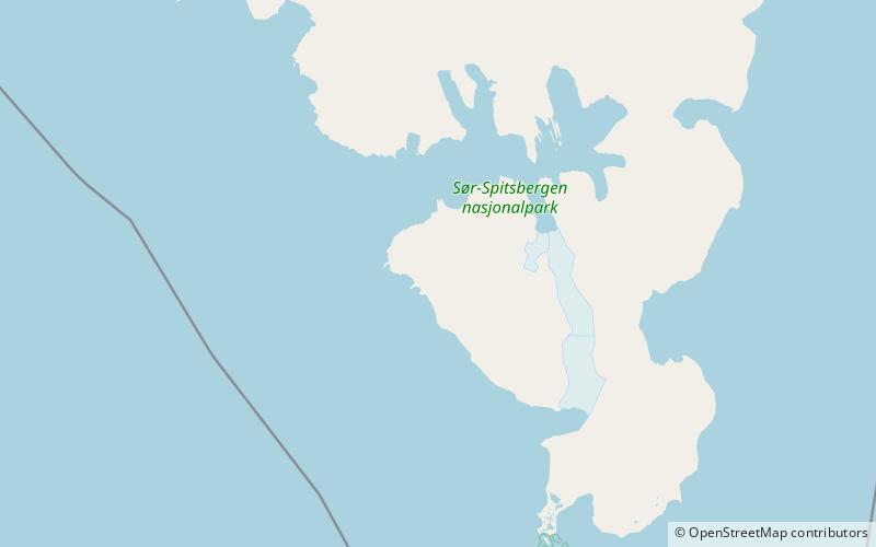
Map
Facts and practical information
Lidfjellet is a mountain in Sørkapp Land at Spitsbergen, Svalbard. It is the most southern mountain of Struvefjella, and has a height of 534 m.a.s.l. It is separated from Sergeevfjellet by the mountain pass Sergeevskaret. North of the mountain is the mountain pass Lidpasset, with the valley Lisbetdalen running down to the northwest, and Liddalen down to the south, between Lidfjellet and Gavrilovfjellet. Lidfjellet is named after Norwegian botanist Johannes Lid. ()
Coordinates: 76°51'52"N, 15°45'33"E
Address
Sør-Spitsbergen National Park
ContactAdd
Social media
Add
Day trips
Lidfjellet – popular in the area (distance from the attraction)
Nearby attractions include: Liddalen, Lisbetdalen, Struvefjella, Sergeevskaret.
Frequently Asked Questions (FAQ)
Which popular attractions are close to Lidfjellet?
Nearby attractions include Liddalen, Sør-Spitsbergen National Park (16 min walk), Sergeevskaret, Sør-Spitsbergen National Park (17 min walk).


