Halti
Map

Map

Facts and practical information
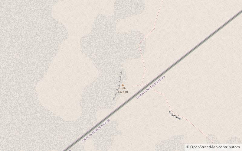
Halti is a fell at the border between Norway and Finland. The peak of the fell, called Ráisduattarháldi, is in Norway, on the border between the municipalities of Nordreisa and Gáivuotna–Kåfjord, about one kilometre north of the border with Finland. The highest point of the fell on the Finnish side is at 1,324 m above sea level, and thus the highest point in the country. The Finnish side of Halti belongs to the municipality of Enontekiö in the province of Lapland. ()
