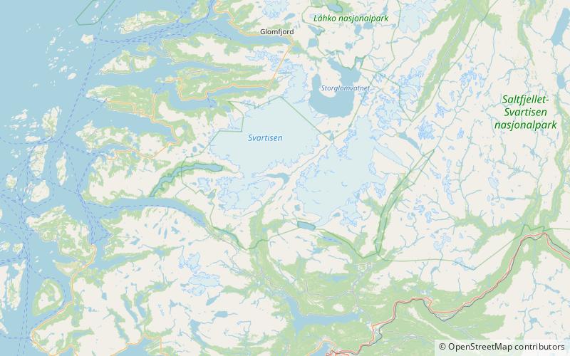
Bjørnefossvatnet, Saltfjellet–Svartisen National Park

Map
Facts and practical information
Bjørnefossvatnet or Flatisvatnet is a lake in the northwestern part of the municipality of Rana in Nordland county, Norway. The lake is located inside the Saltfjellet–Svartisen National Park, about 30 kilometres north of the town of Mo i Rana. The glacial lake is also the headwaters of the Glomåga river which flows south into the lake Langvatnet. ()
Local name: Flatisvatnet Length: 2.11 miWidth: 5906 ftElevation: 1490 ft a.s.l.Coordinates: 66°35'31"N, 13°58'31"E
Address
Saltfjellet–Svartisen National Park
ContactAdd
Social media
Add
Day trips
Bjørnefossvatnet – popular in the area (distance from the attraction)
Nearby attractions include: Svartisen, Svartisen.

