Arrheniusfjellet, Sør-Spitsbergen National Park
Map

Map

Facts and practical information
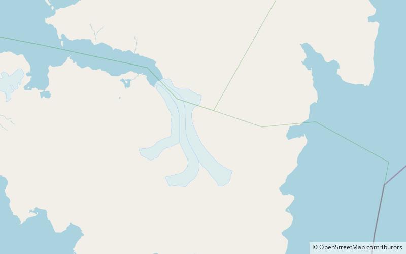
Arrheniusfjellet is a mountain in Torell Land at Spitsbergen, Svalbard. It is named after Swedish physicist Svante Arrhenius. The mountain has a height of 883 m.a.s.l. and is located at the head of Van Keulenfjorden. The glacier of Vindbreen separates Arrheniusfjellet from Vindfjellet at the southern side. The large glacier of Liestølbreen is situated between Arrheniusfjellet and Wijkberget, and Nathorstbreen is located southwest of the mountain. ()
Coordinates: 77°24'8"N, 16°26'14"E
Address
Sør-Spitsbergen National Park
ContactAdd
Social media
Add
Day trips
Arrheniusfjellet – popular in the area (distance from the attraction)
Nearby attractions include: Nathorstbreen, Liestølbreen.


