Friherrefjella, Sør-Spitsbergen National Park
Map

Map

Facts and practical information
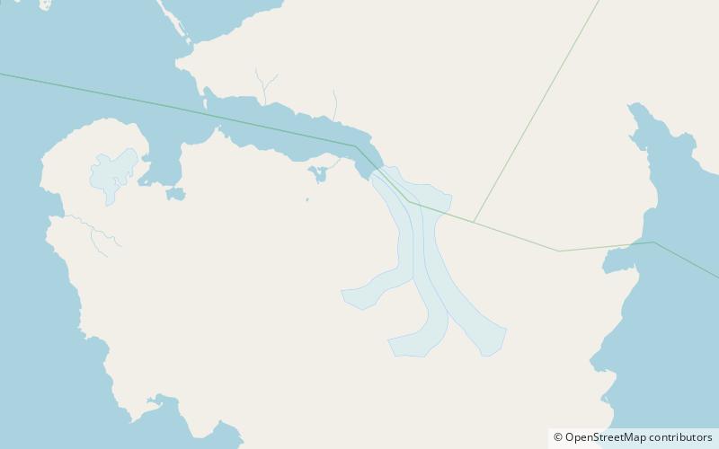
Friherrefjella is a mountain ridge in Wedel Jarlsberg Land at Spitsbergen, Svalbard. The ridge has a length of about 16 kilometers and a width of eight kilometers, and is situated between the Penckbreen and Nathorstbreen glacier complexes. Among the named mountains along the ridge are Neumayerberget, Basilika and Basilikarabbane, Zillerberget, Sukkertoppen, Lappkota, Pagoden, Skiltoppen, Suessberget, Armfjellet, Aksla, Sotryggen and Valken. ()
Address
Sør-Spitsbergen National Park
ContactAdd
Social media
Add
Day trips
Friherrefjella – popular in the area (distance from the attraction)
Nearby attractions include: Penckbreen.

